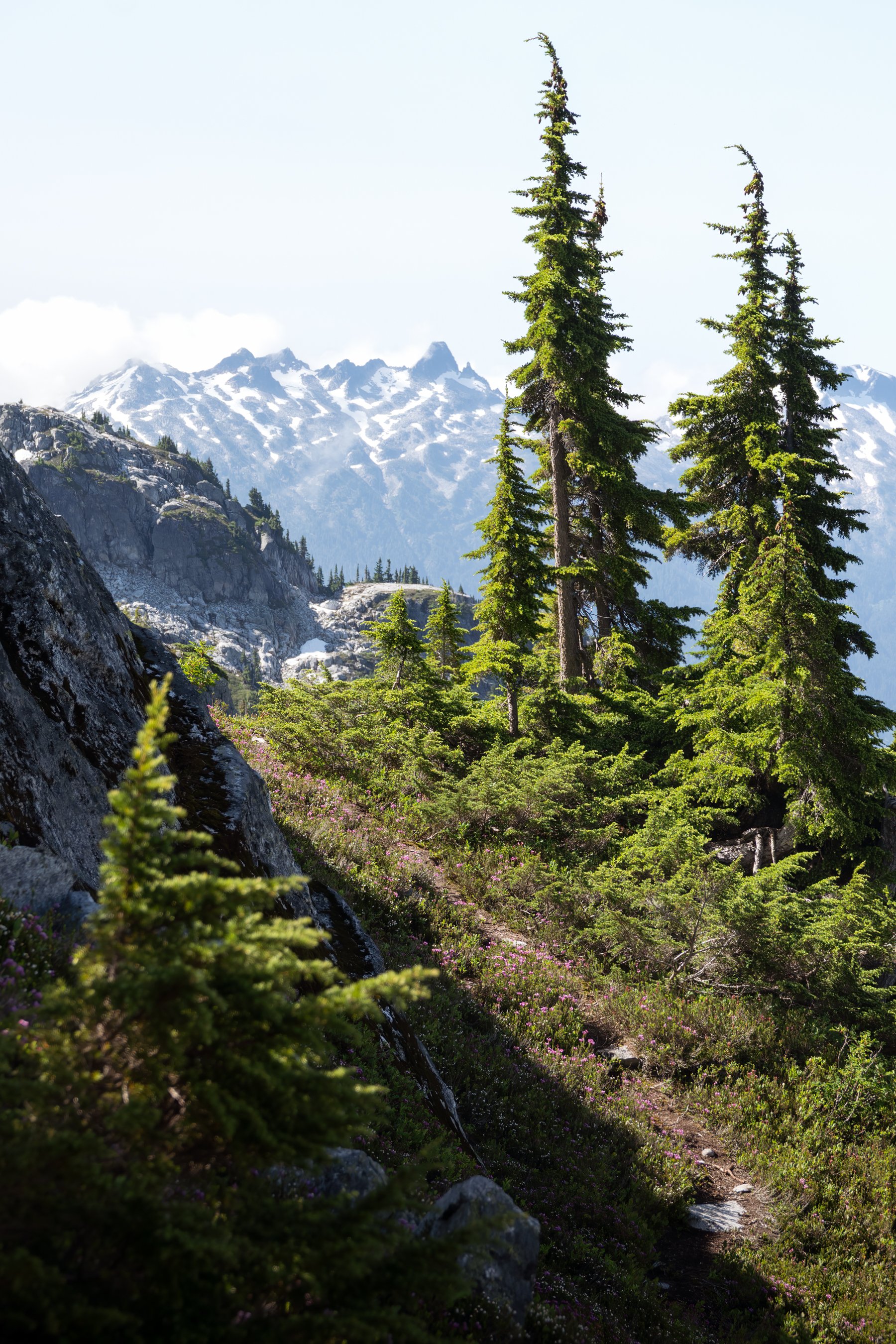
West McMillan Attempt
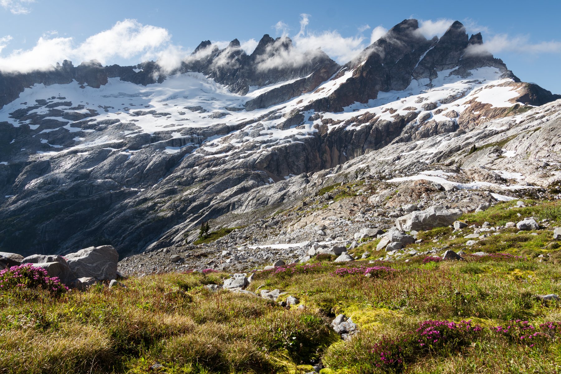
DATE HIKED: 7/17-7/19/26
TOTAL MILEAGE: 21 MILES
TOTAL ELEVATION GAIN: 9,300’
There is a storied subrange of mountains nestled in the heart of the North Cascades with an almost mythical reputation: the Pickets. They are known for fickle weather and brutal approaches, but the reward for perseverance is an alpine wonderland of jagged peaks, serrated ridges, and spires. I have seen the range from a distance, but never have I had the privilege of seeing it up close. This summer, my friend Jess and I set out to summit West McMillan Spire, one of the southern Pickets that is considered a gateway to the range due to its relatively short approach (the word “relatively” does some heavy lifting here). We planned the trip for the middle of July, trying to thread the needle between the snow melting out and the worst of wildfire season. We decided to make it a three day trip, giving us a full day to complete the rugged hike to basecamp, another full day for our summit attempt, and a final day for the long trek out.
day 1: hike to terror basin | 8 miles | 6,000’ of gain
We pulled into the ranger station parking lot at 6:30AM and already most spots were taken, their occupants milling about. I pulled a number and we spent the next thirty minutes reorganizing our packs and eating breakfast while we waited for the building to open. There were ten groups in front of us, but within an hour of the ranger station opening we had our permits in hand. We asked about recent trip reports, but the ranger said not many people had been out there recently, and so far, no one else had permits for the Terror XC zone either.
The drive from the ranger station to the Upper Goodell Campground and trailhead was short (just twenty minutes) and by 8:30AM we were on the trail.
The first day was a doozy on paper. It called for 8 miles with 6,000’ of gain, but the catch was that 4,000’ of that gain was smashed into a two mile stretch. Which made it the equivalent of two Aasgard passes stacked on top of one another!
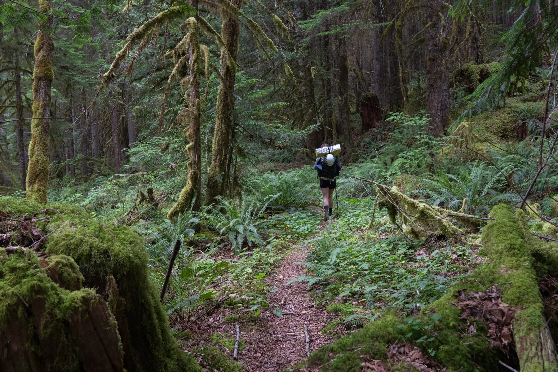
The first four miles of trail were gradual and peaceful as we meandered through a forest that felt enchanted. I’ve seen verdant forests before, but this forest somehow felt even more lush and green. For long stretches, the whole ground was carpeted in a thick foliage while Spanish moss dripped from branches, creating a world that existed almost exclusively in shades of green. Everywhere I looked I noticed more quiet magic. We passed countless nurse trees feeding new seedlings and sprouts, and then I spied the most gigantic erratic I’ve ever seen, deposited in this spot by a melting glacier years ago.
Usually at the beginning of hikes I’m so focused on making progress to the destination that I forget to enjoy the smaller moments along the way, but not this time. The miles flew by in a colorful blur, and before we knew it we were at the turnoff for the climber’s trail. So began the relentlessly steep ascent.
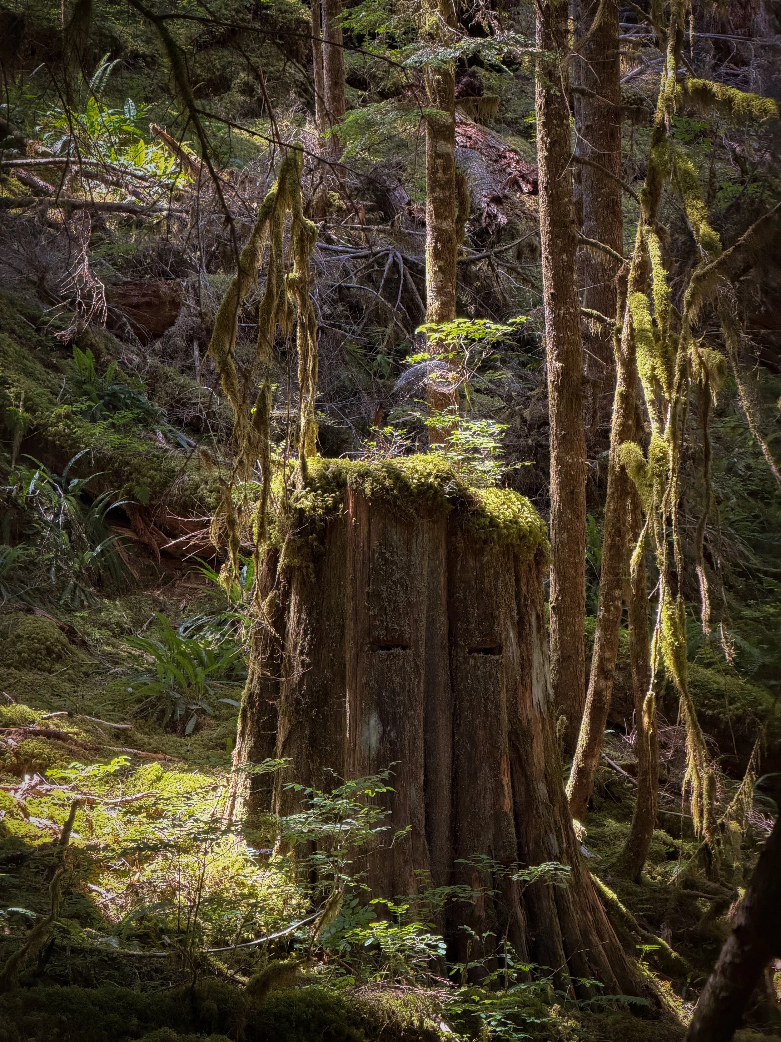
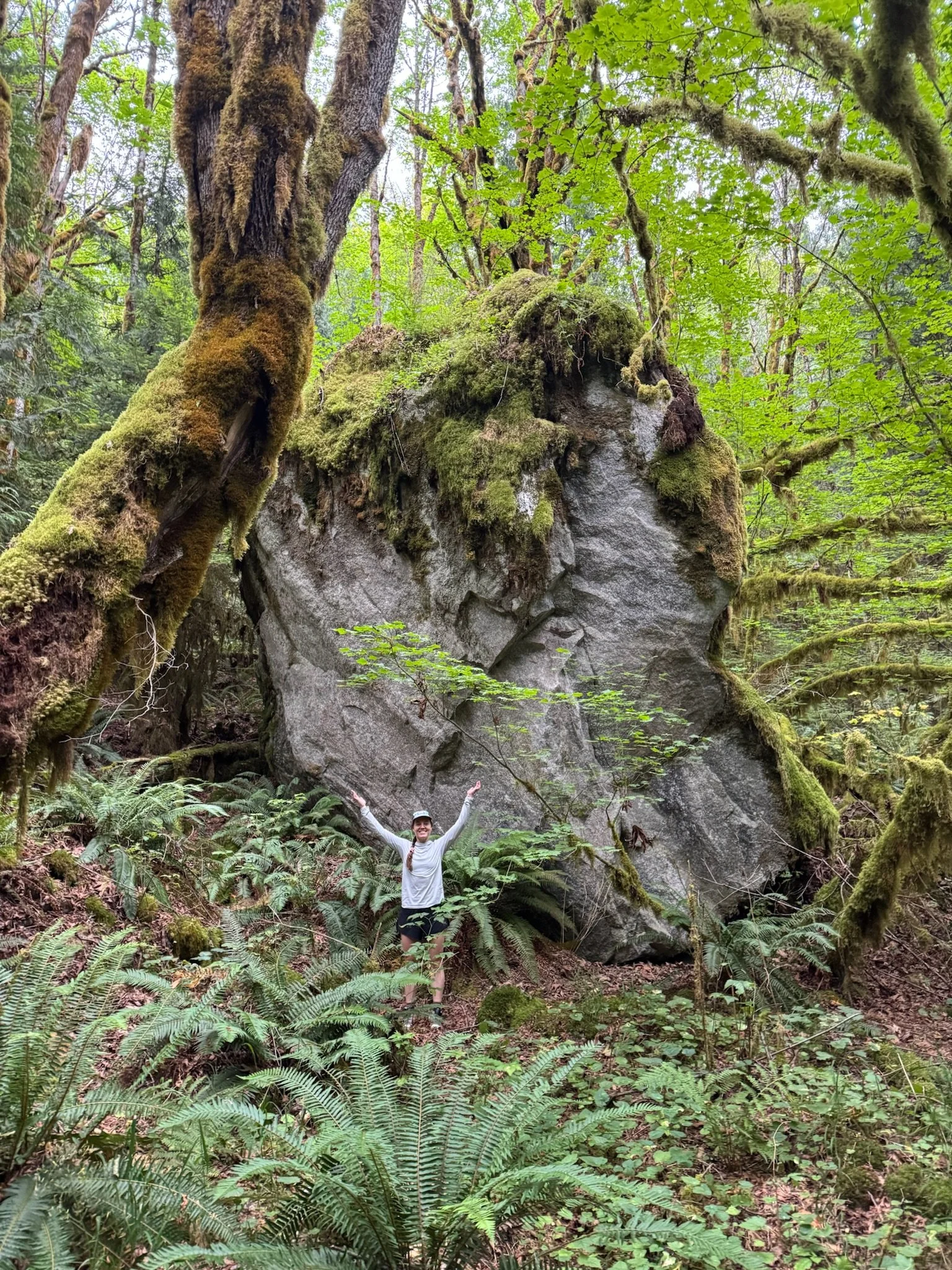
It had recently rained. At first, I had been happy with this development since it meant that the weather was cloudy and cool, and I prefer cooler temperatures for steep ascents, but we quickly discovered the downside. The overgrown foliage we trudged through dumped the rain it was clutching in its leaves all over us. Within a few minutes we were completely soaked. It looked and felt as if we had jumped in a lake. This added a new difficulty to the trail. Not only were were contending with the physical challenge of the ascent, we were also contending with the mental challenge of being splashed by water over and over and over again. Even now as I’m writing this I think, it’s just water, calm down, but in the moment it was an unanticipated obstacle, and that combined with hiking in a dense fog with no views to offer us a distraction, made it tough to stay buoyant. Each time we thought we had made it past the overgrowth, the trail wound right back into the thick of it and we were freshly doused.
Since we had 4,000’ to gain in the forest, I broke it up for us as we ascended. First, we started with a Mailbox Peak, but eventually we hit 3,000’. “Hey! We’re down to a Mt. Si lap!” Eventually we found ourselves at a Tiger Mountain lap, then a Hyak lap, and finally, after three hours, we officially exited the forest. As a further positive turn of events, the clouds started to break. Finally! We took a lunch break on a large rock overlooking the valley. The clouds danced around us, giving us glimpses of the mountains we were hiking toward.
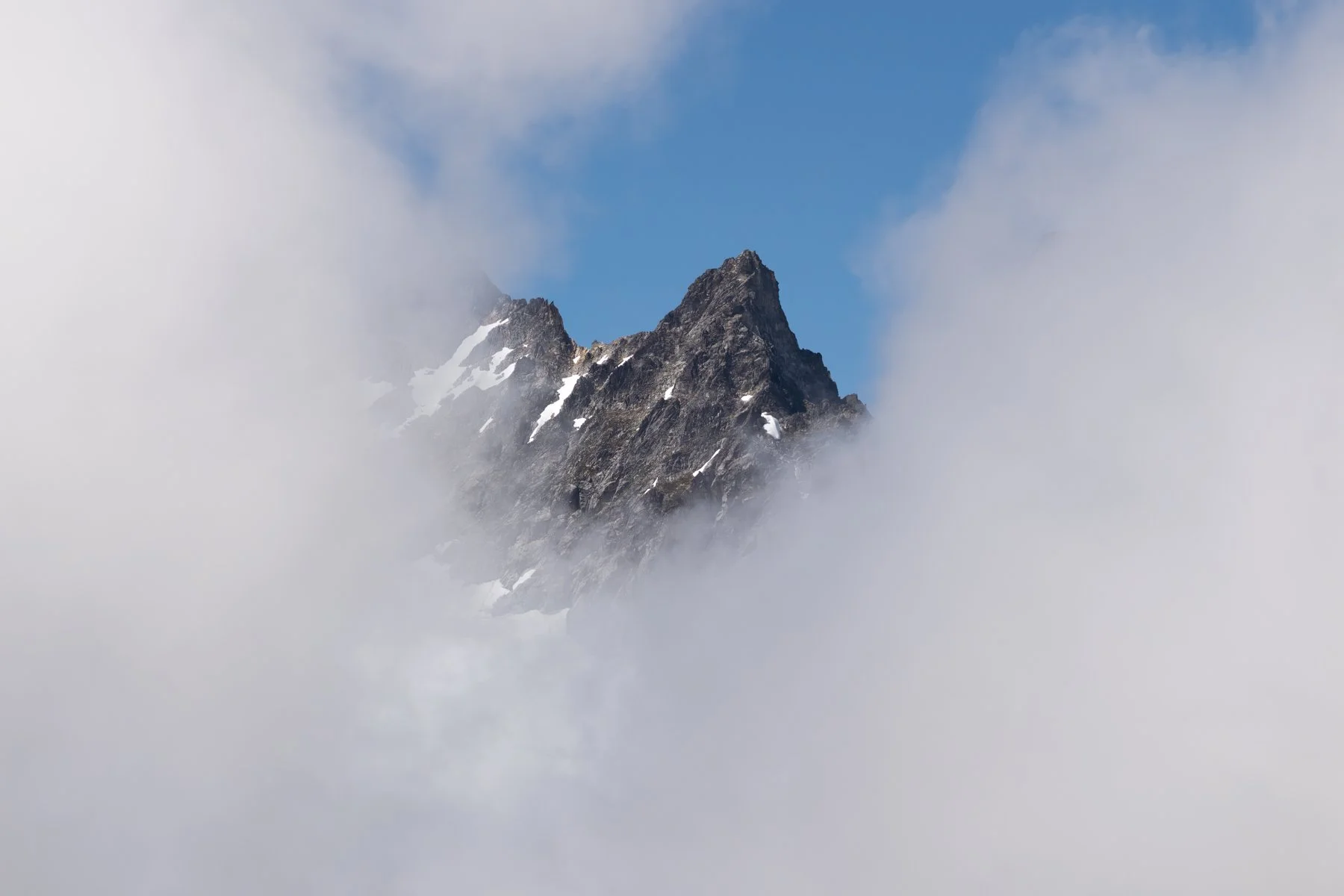
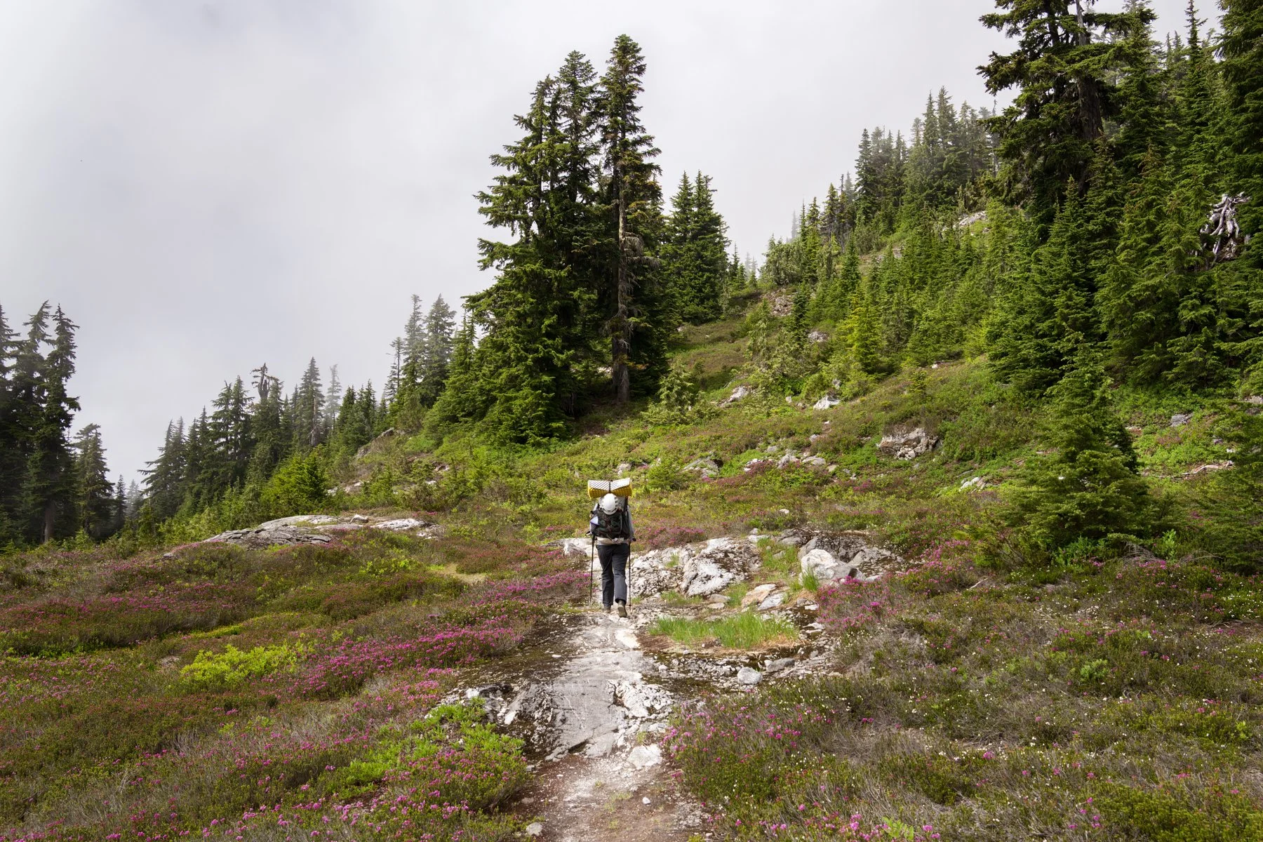
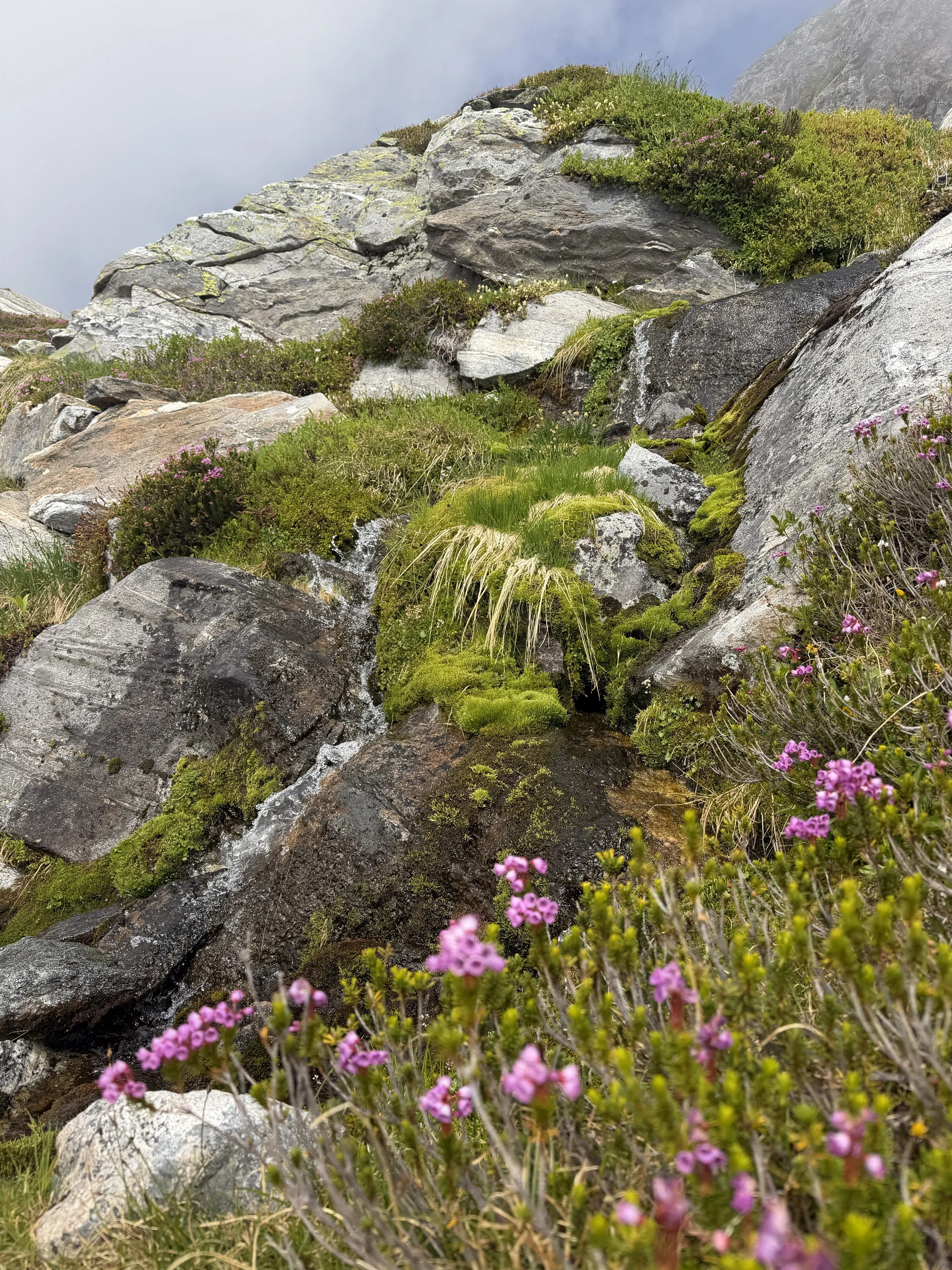
Beyond our lunch spot we entered the true subalpine splendor. Thankfully, the trail grade softened and we could fully enjoy the views as we continued the climb. All around us were blankets of blooming heather, thick moss lining the banks of countless tinkling streams, and the clouds peeling back on the slopes of the southern Pickets.
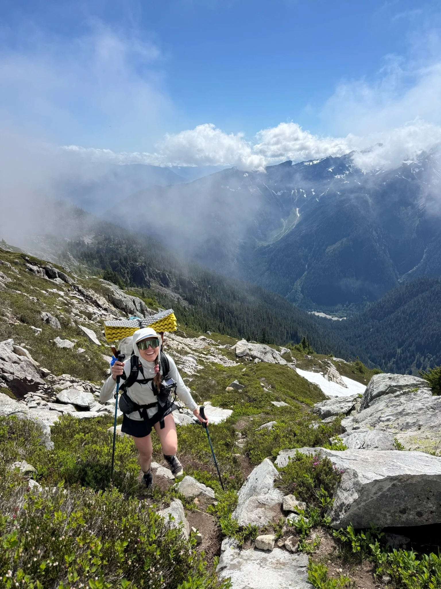
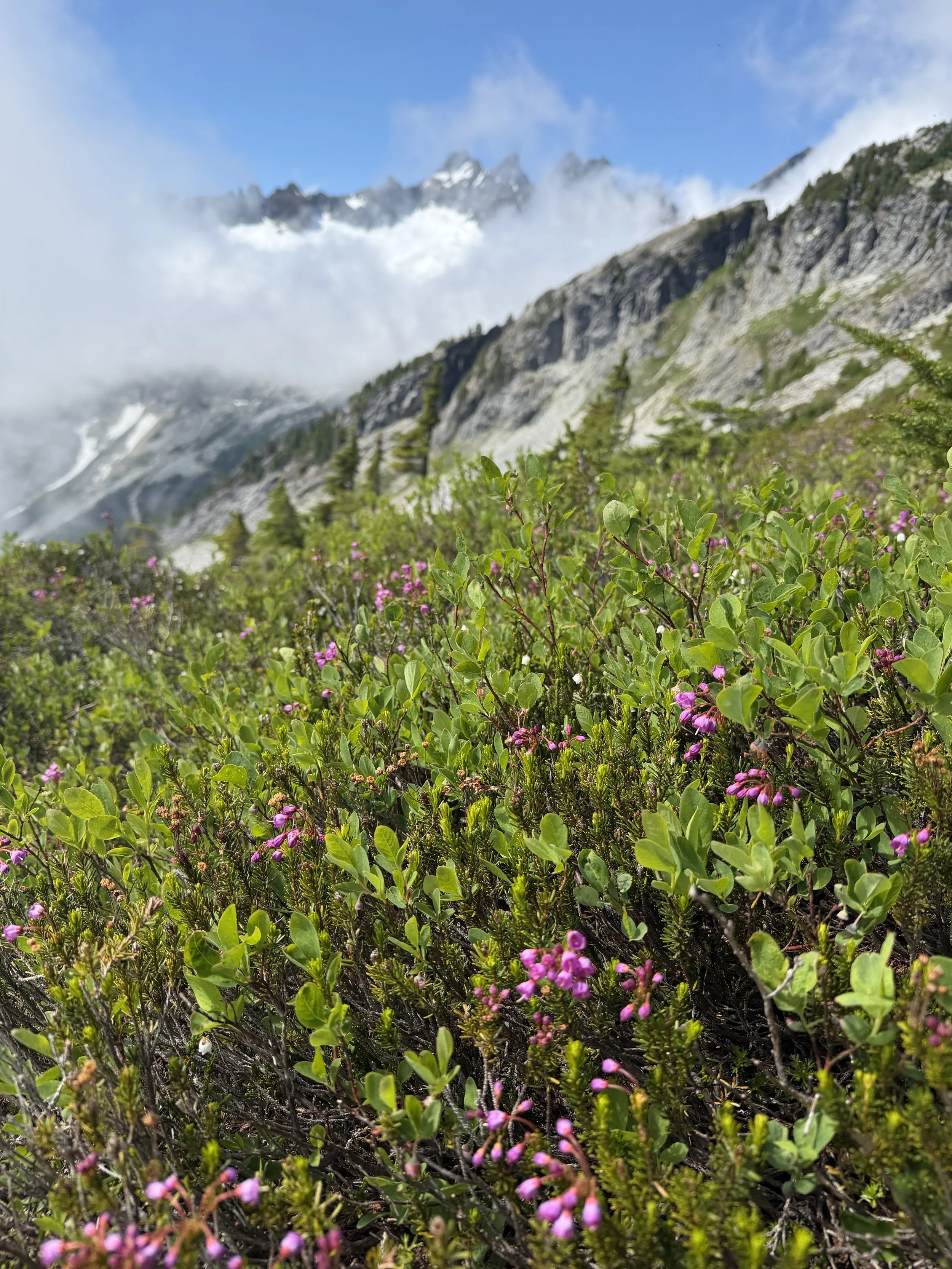
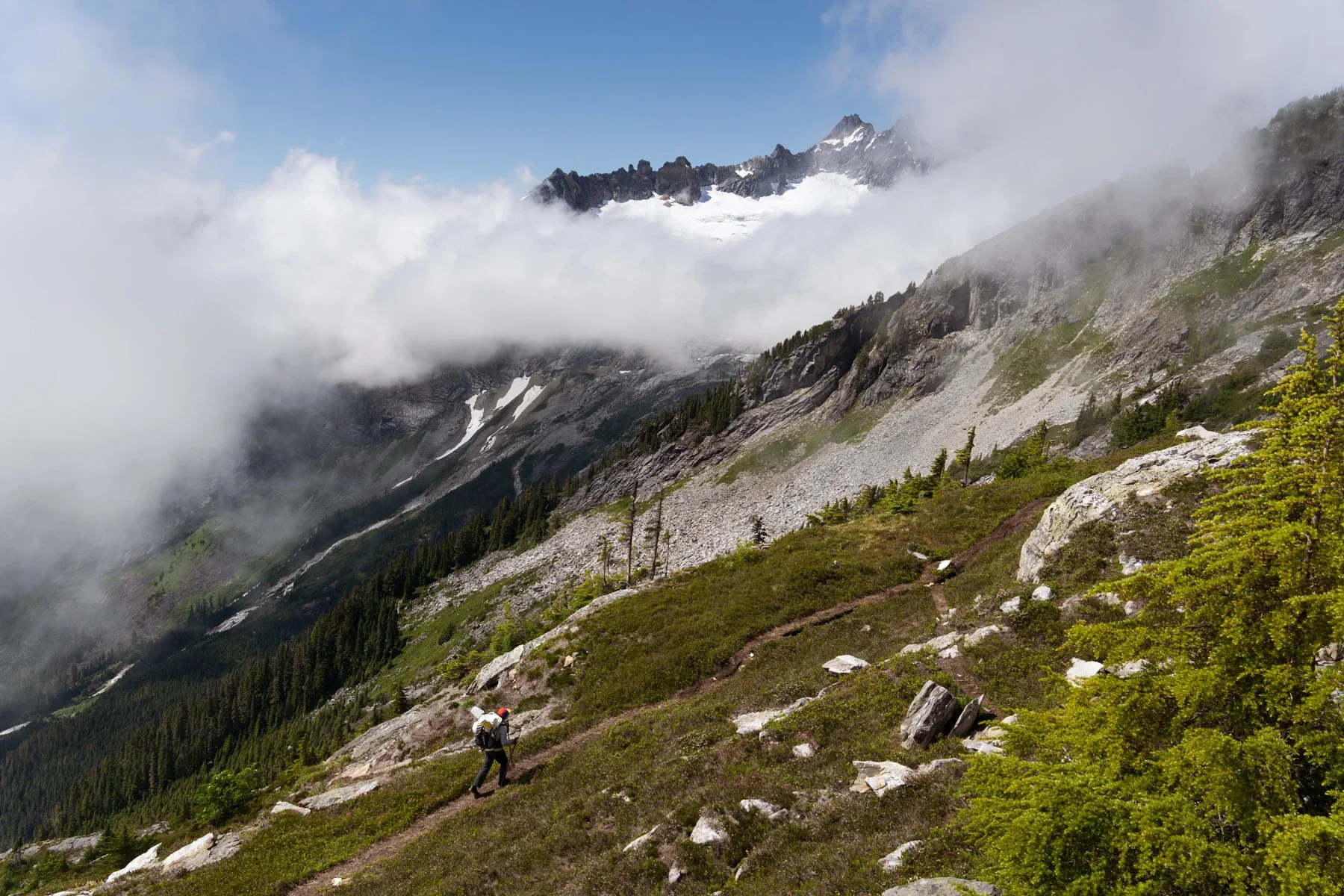
As we gained elevation in the meadows “the notch” grew closer in our field of view. “The notch” is the entryway to Terror Basin and one of the aspects of the trail that made me the most nervous. The descent into Terror Basin can be tricky depending on the season. Later in the season, after all the snow has melted, the route is a precipitous descent on crumbly rock and scree. Earlier in the season, climbers have a steep snow slope they must down climb.
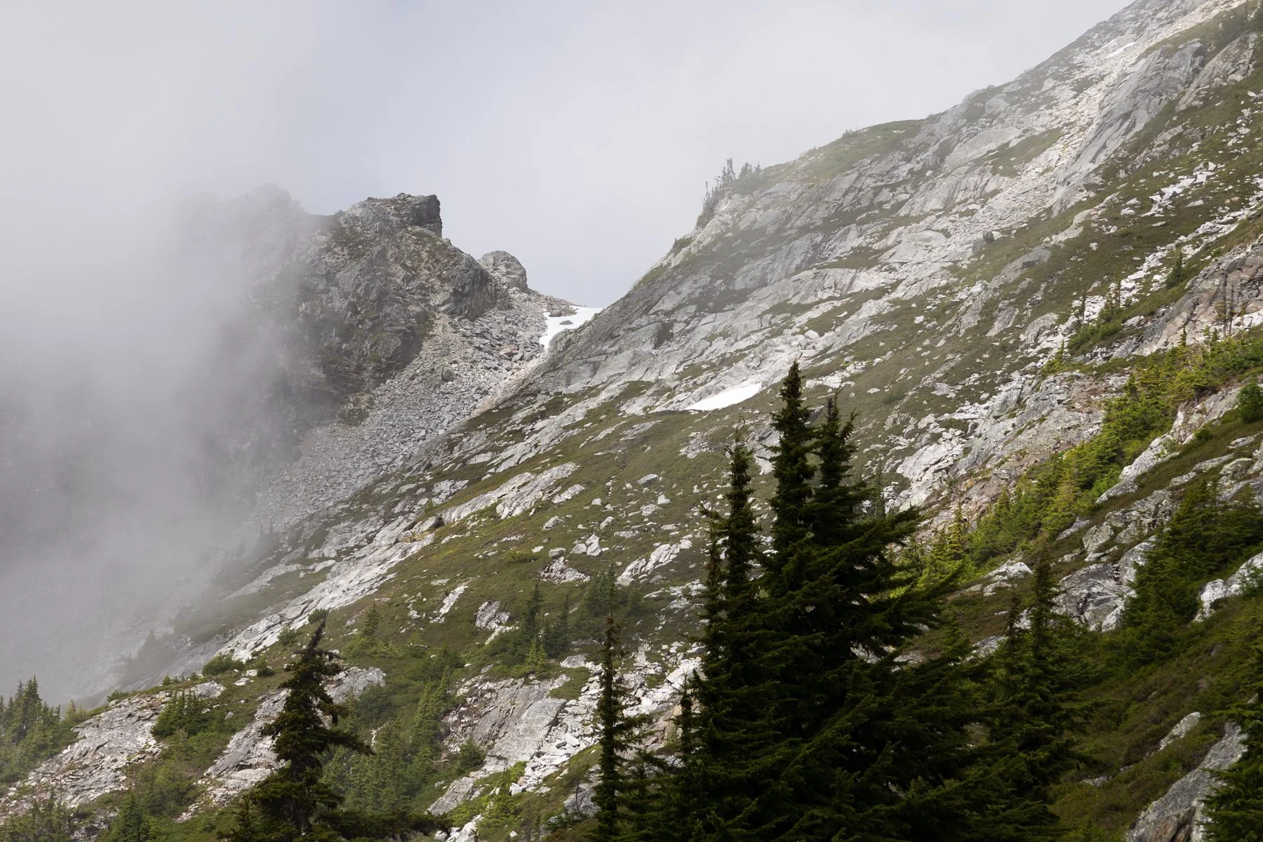
“The notch” is the snowy section in the low point of the ridge
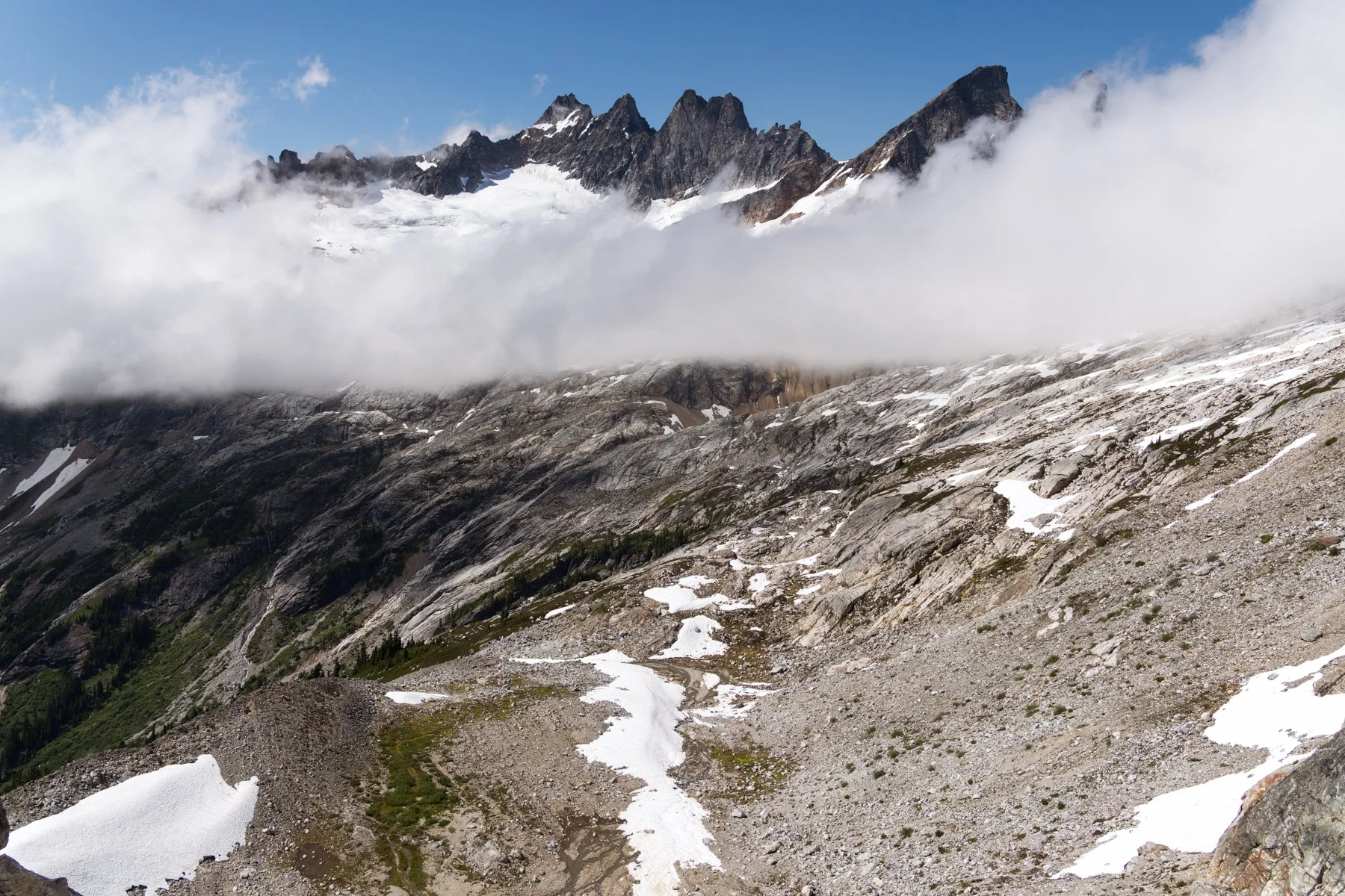
The view from “the notch”, camp is in the flat rocky space in the lower middle-left
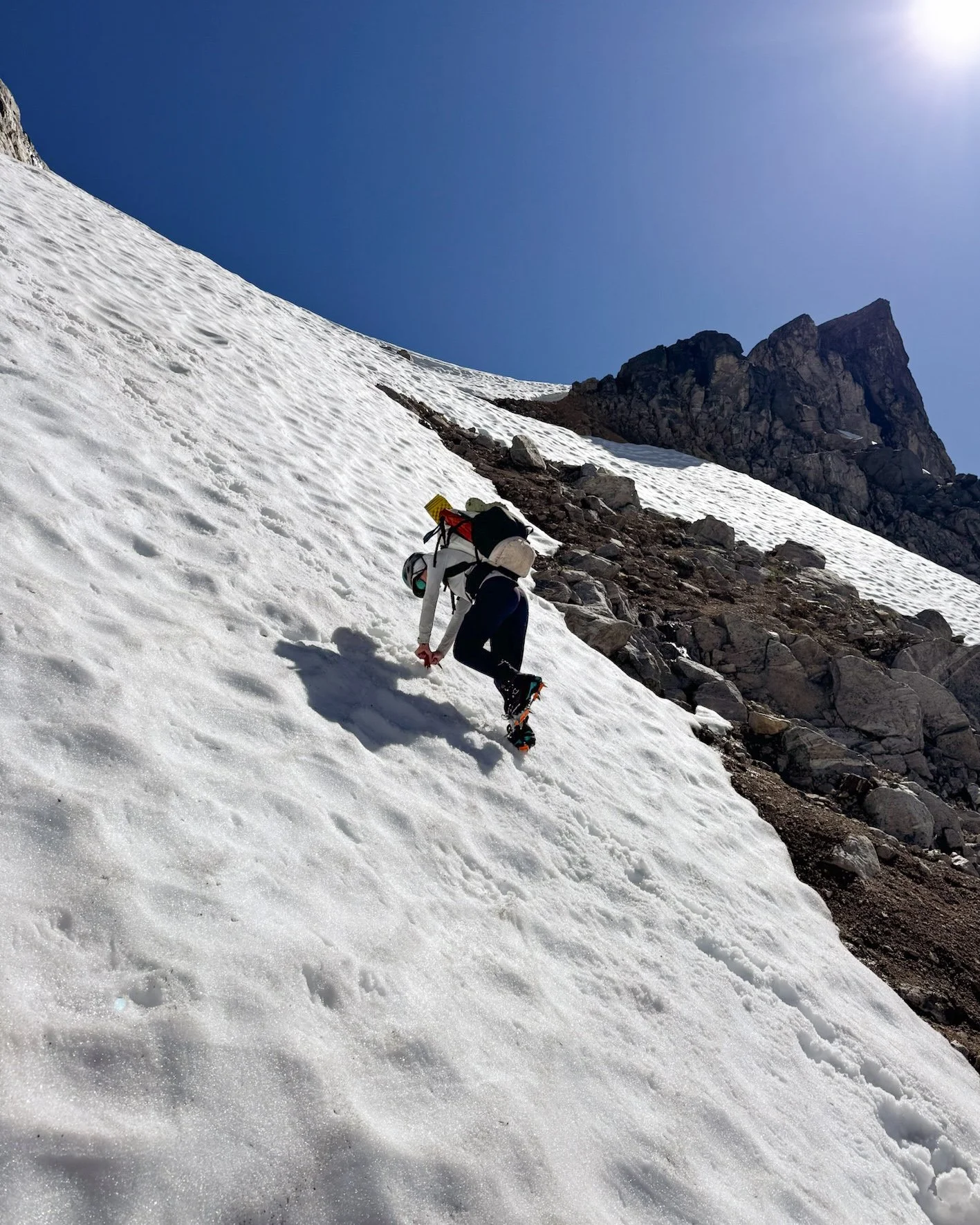
We anticipated a snowy descent given our mid-July trip and packed our mountaineering boots, crampons, and ice axes. Despite the weight penalty all that gear added, I’m glad we brought it because we used it all. The snow was steeper than I expected and it felt rotten in the late afternoon sun. I am not super comfortable descending steep snow so Jess graciously offered to lead the down climb. She turned into the slope, plunged her ice axe deep into the snow and started kicking steps. I gave her space before I turned and descended as well. We down climbed until the slope leveled out enough for us to turn back around and cruise into camp.
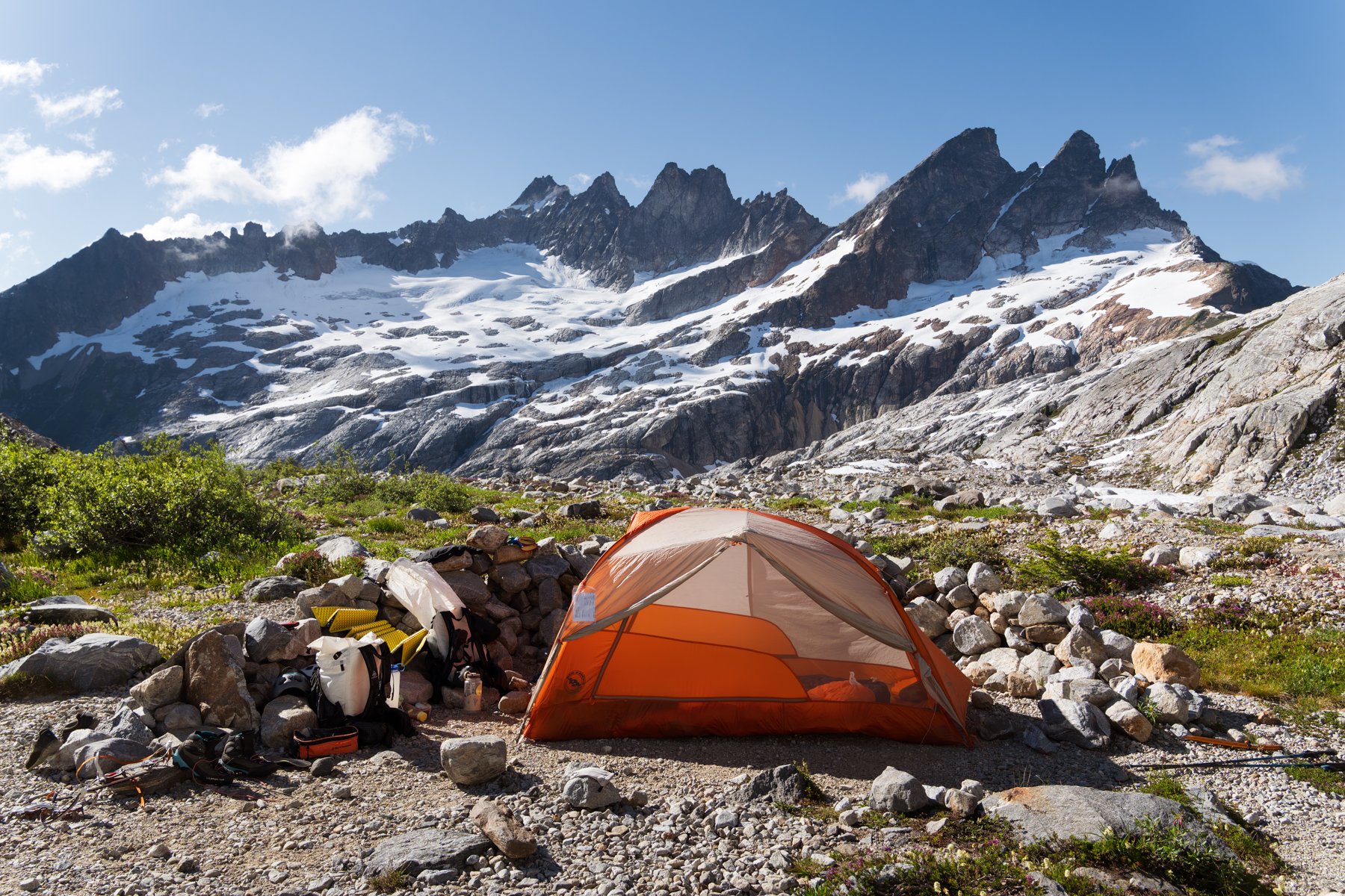
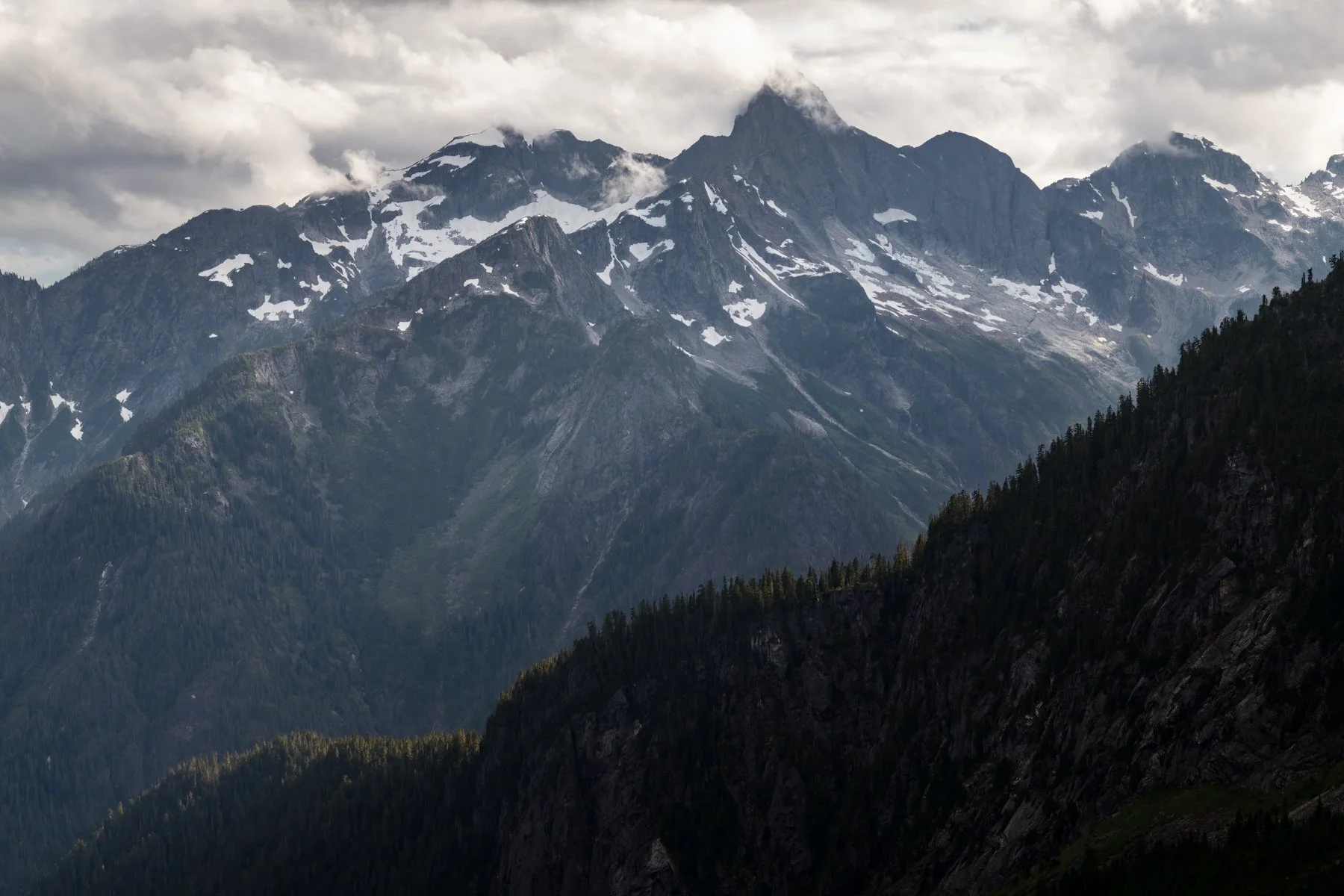
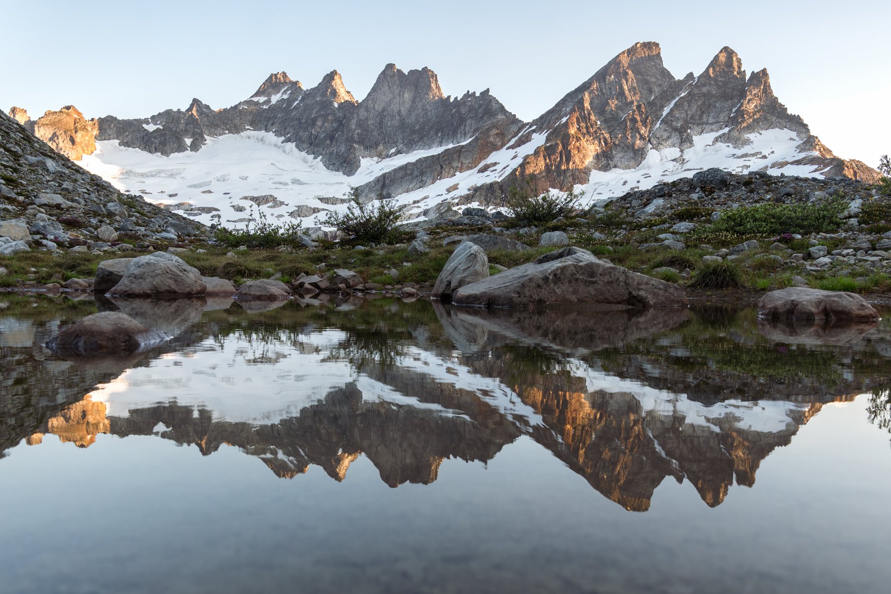
We were the first campers to arrive in the basin so we picked the most scenic camp we found, the one with the biggest windbreak and the best view of Degenhart, Inspiration, and the McMillan Spires. Once we were set up, we explored deeper into the basin with our cameras. Once again we found ourselves in a setting that bordered on magical.
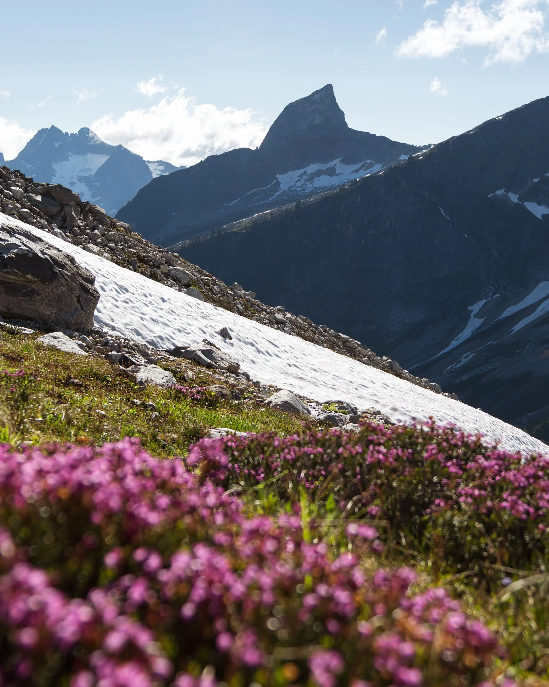
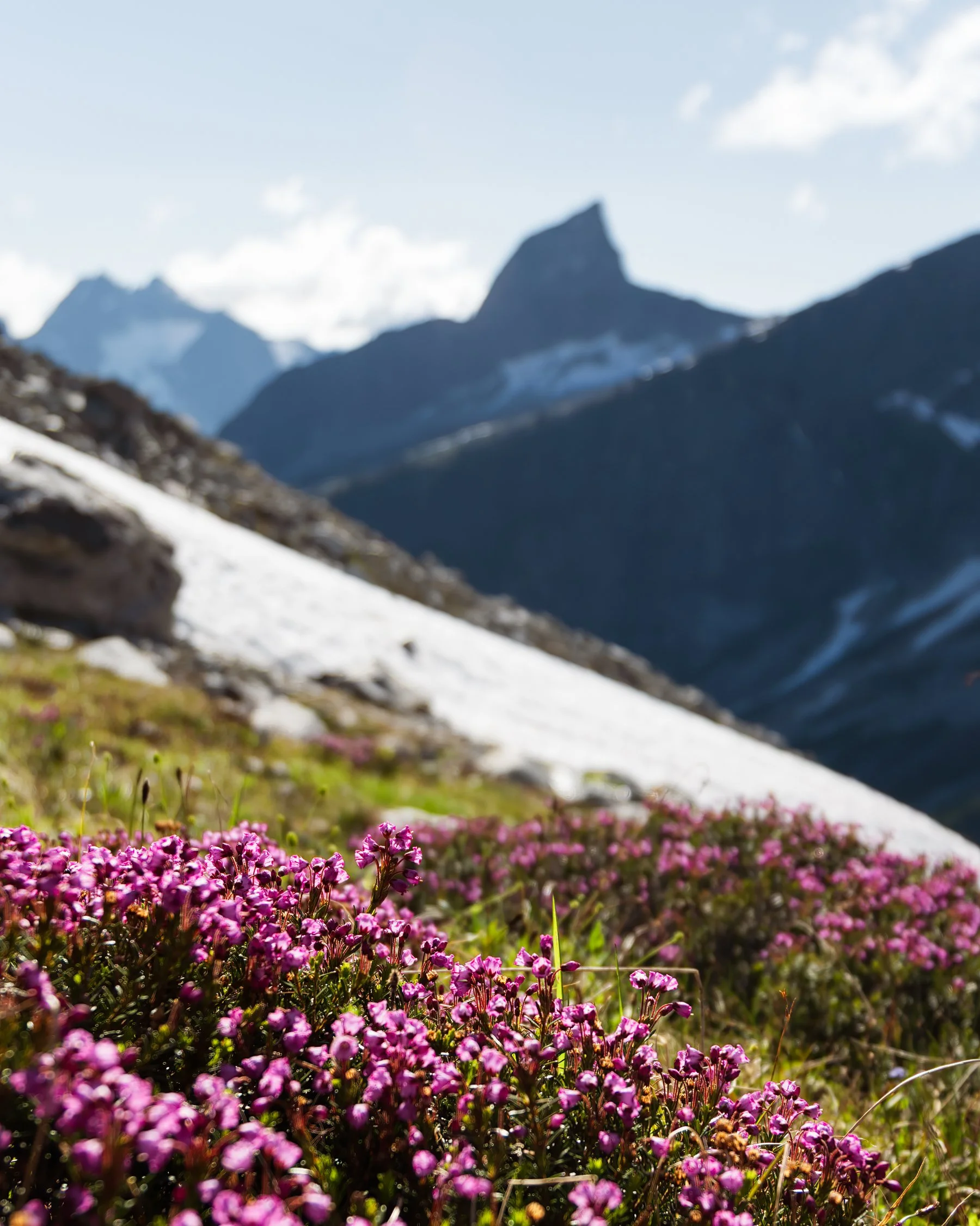
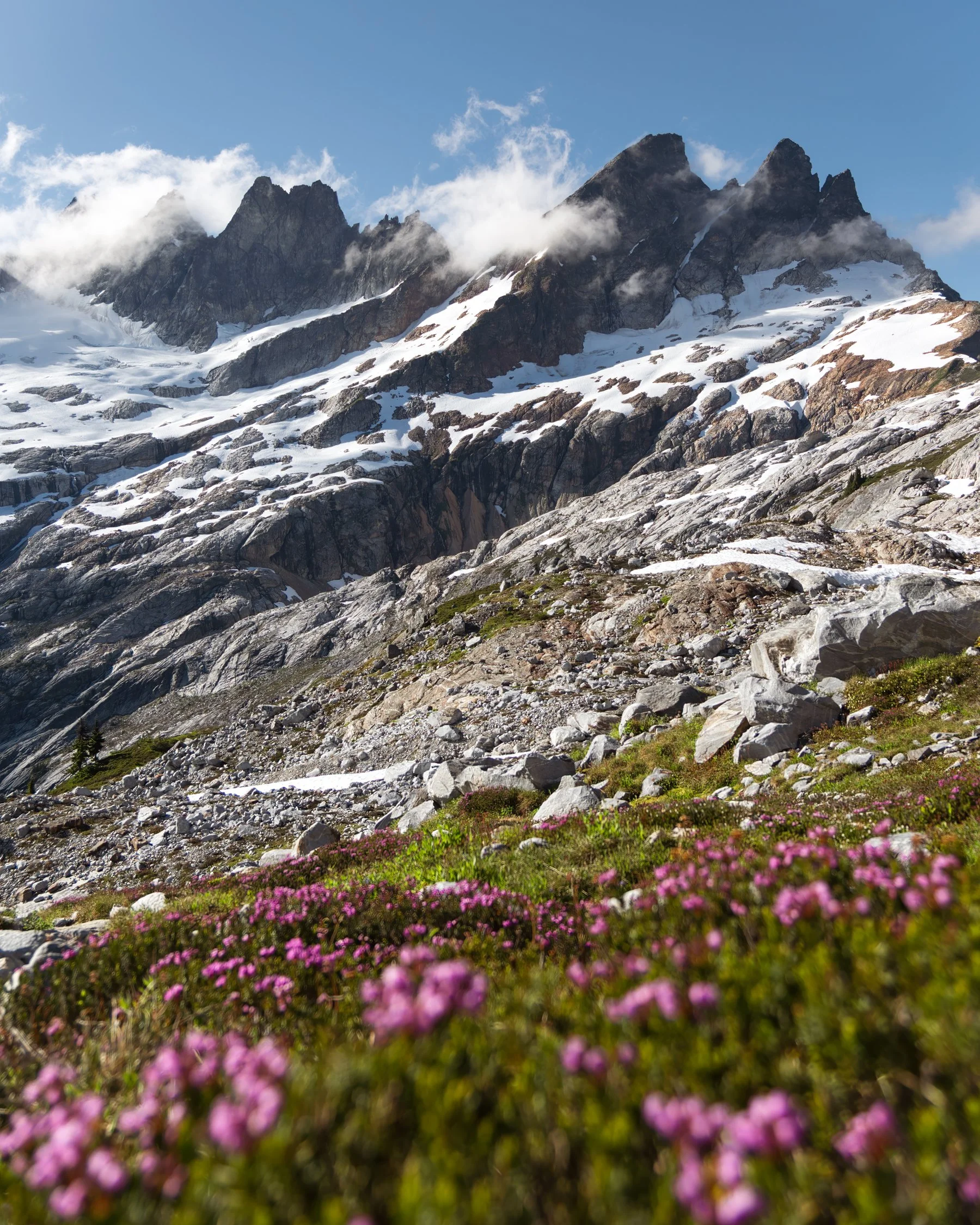
After dinner, we clambered up a nearby ridge to see what the vantage point offered and our jaws dropped when we crested the rise and found ourselves staring into the belly of a deep valley ringed by rugged peaks. Triumph, Mt. Despair, and the Chopping Block stood prominently in front of us. The 360-degree view from this unassuming pile of rocks was incredible.
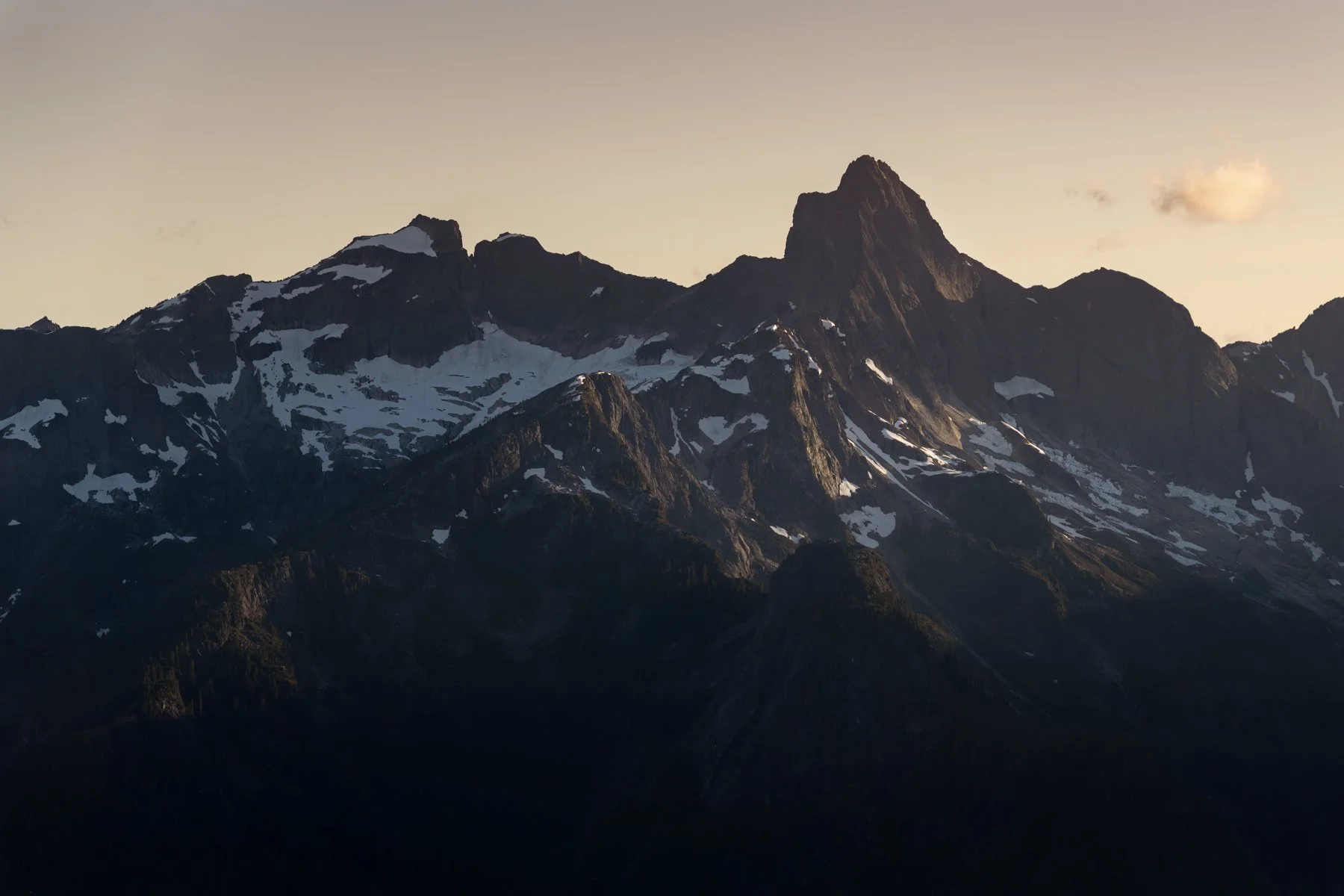
As the last light faded from the day we retreated to our tent. We thought we would be alone in the little basin, we hadn’t seen another person since we left the trailhead, but just as dusk fell two more hikers arrived at camp. I was actually okay with that. I like being able to blame any unexplained noises in the night on camp neighbors.
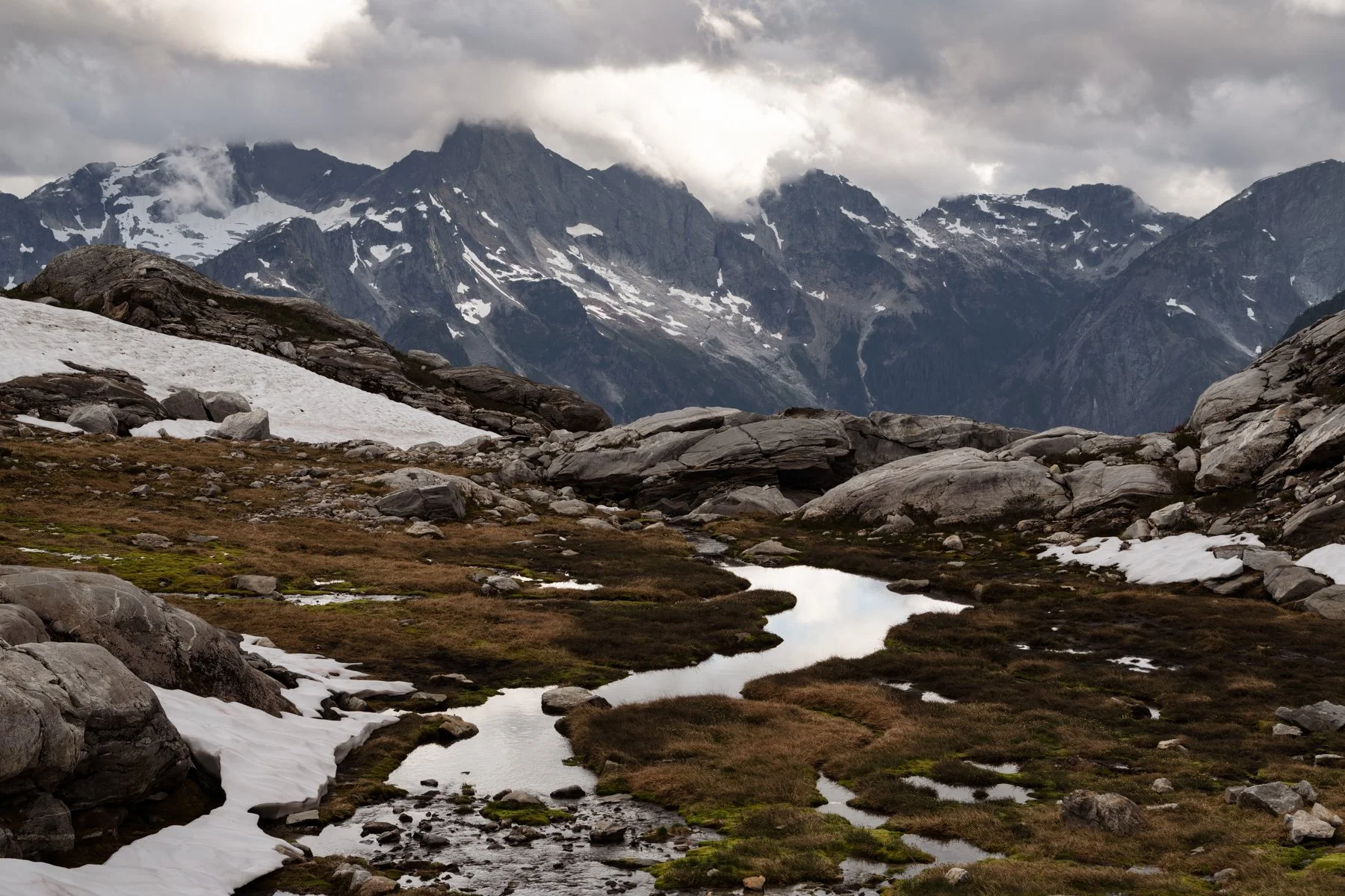
day 2: West McMillan Attempt | 5 miles | 2,600’ of gain
We awoke in a thick cloud but it didn’t worry me. The forecasts we had checked before we left called for clear skies over the weekend, and the NOAA weather printout on the ranger station desk showed a bright shining sun in a bluebird sky, nary a cloud in sight for both Saturday and Sunday. We assumed the clouds would clear in short order. Our plan for our second day was to summit West McMillan Spire, but we knew it wouldn’t take all day so we didn’t feel the need to rush. We had a leisurely breakfast and sat outside the tent chatting and waiting for the clouds to clear. I messaged Alex and asked if he could give us an updated forecast, just in case. He responded that the clouds were expected to start clearing around 11 or 12. That was later than we hoped but we still had time for our climb, so we continued to wait.
And wait.
And wait.
When noon passed and we were still stuck in a cloud, I messaged Alex again and he responded that the forecast had taken a turn for the worse. The clouds weren’t forecast to break until the late afternoon, but he assured me the cloud ceiling would rise above the summit and we could expect clear conditions around 6 or 7PM.
Now we were starting to run out of time. We didn’t want to return to camp too late (definitely not in the dark) so we set a turnaround time for ourselves. We planned to be off the summit by 6PM which would give us enough time to make it all the way back to camp just before dark. We weren’t sure exactly how long the climb would take, so we decided to plan conservatively and left camp at 1PM.
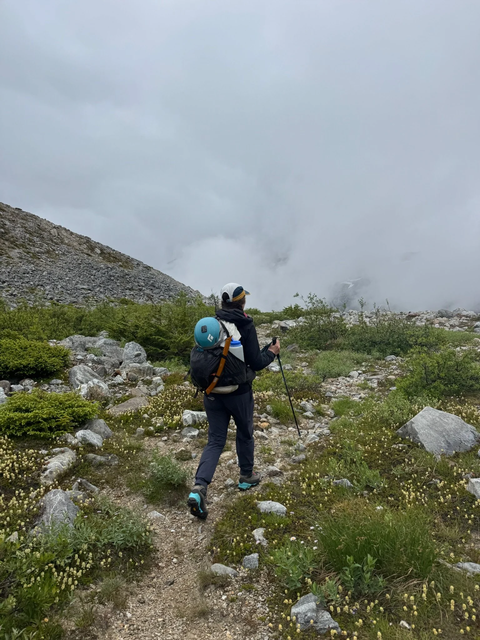
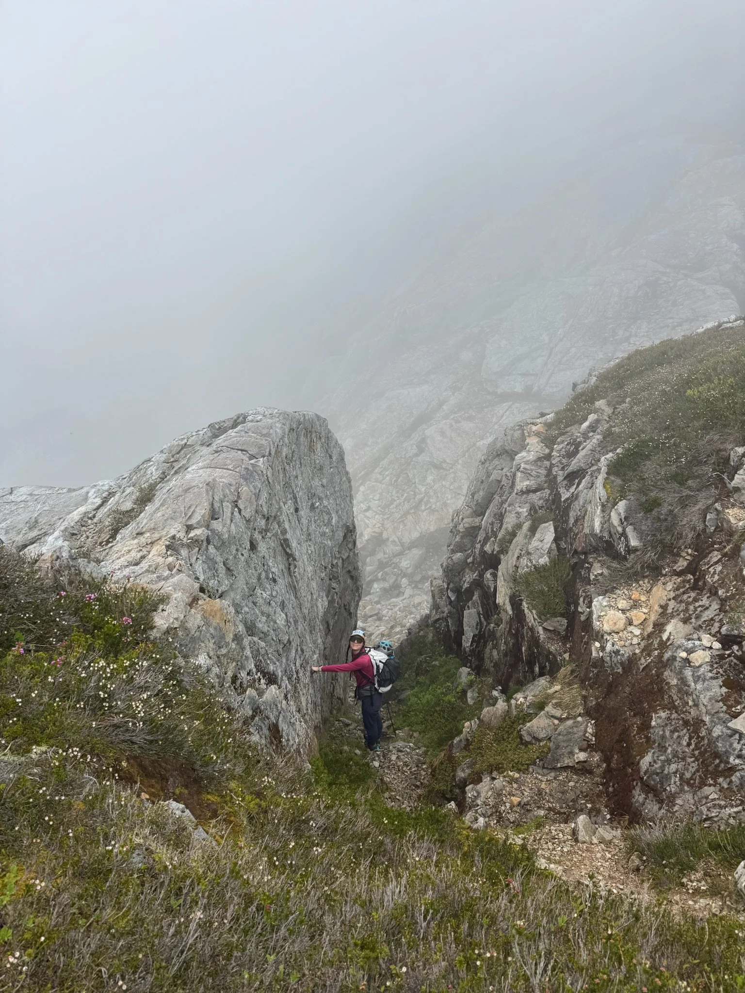
Hiking in a fog again was demoralizing. We knew spectacular views were just beyond the gray veil, but for the time being we were forced to look at our feet. The route-finding in the low visibility was also tougher than we expected and it took us just under two hours to make it to the unnamed lake outlet and the stream crossing. The lake outflow was raging and it took us another fifteen minutes to find a crossing that we could make.
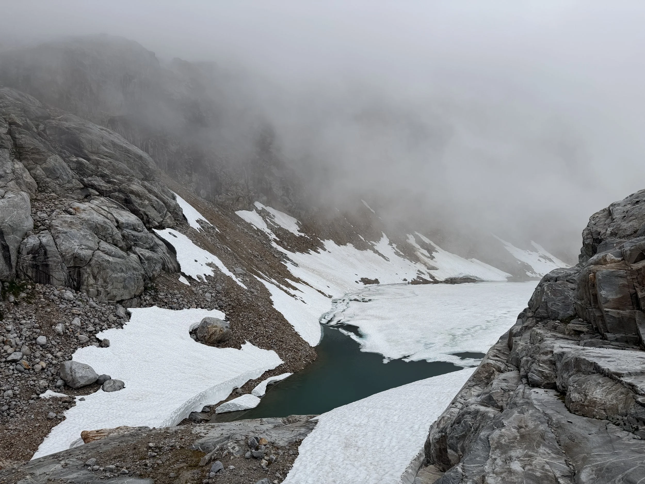
Thankfully, beyond the water crossing the route finding was quite simple. Just follow the slabs up, up, up!
We ran into the two other campers as we made our way up the slabs. They had been out all day attempting to climb Inspiration, but the clouds had thwarted their summit attempt and they were forced to retreat. They wished us luck as we changed into crampons, stepped onto the snow, and continued upward. I kept my fingers crossed that our weather luck would be better than our neighbors’. For a few spirit-lifting moments it appeared the clouds would break. They peeled back, briefly revealing Inspiration and McMillan now looming large in our field of view. We could also see the main crux of the route: a narrow, steep, snow finger that leads to the col between Inspiration and McMillan and the final scramble to the summit. This was the part of the climb I had been most nervous for. On Gaia, the slope angle shading for the snow finger is black so I knew it wasn’t just steep, it was steep steep.
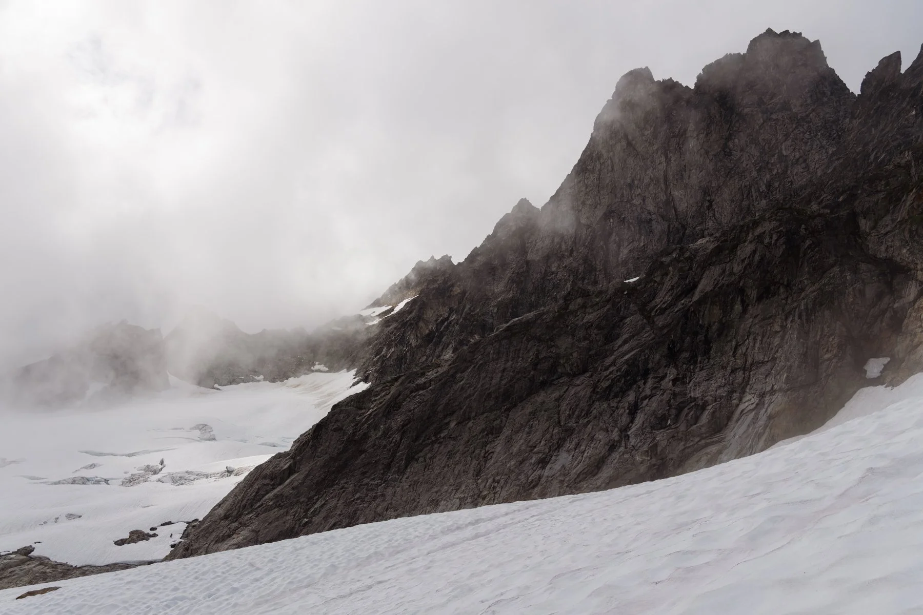
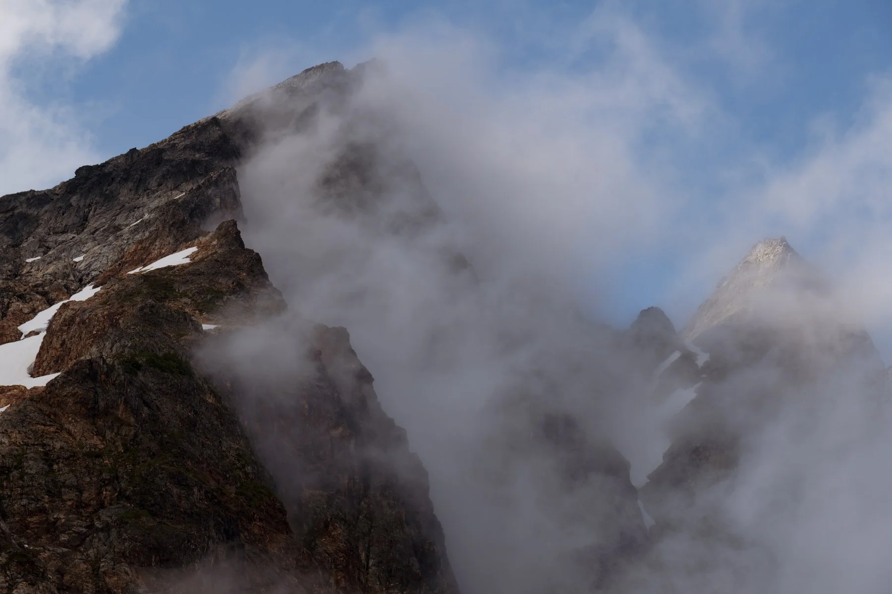
Unfortunately, the clouds didn’t remain parted for long, soon the peaks were swallowed up again. Jess and I stopped at a large exposed rock outcrop just beneath the snow finger and waited for the clouds to clear. While we waited we talked about our options. We were certain we wanted to see the full route up the snow finger before stepping on it, so we agreed to wait until the clouds broke up again before continuing. But they didn’t break. They stubbornly clung to the peaks and at moments threw us into a total whiteout.
Eventually we realized that even if the clouds cleared immediately, and a sparkly light beam descended from the sky and illuminated the rest of the route for us, we still wouldn’t be on the summit before our turnaround time, which meant our decision had been made for us. It was time to turn around.
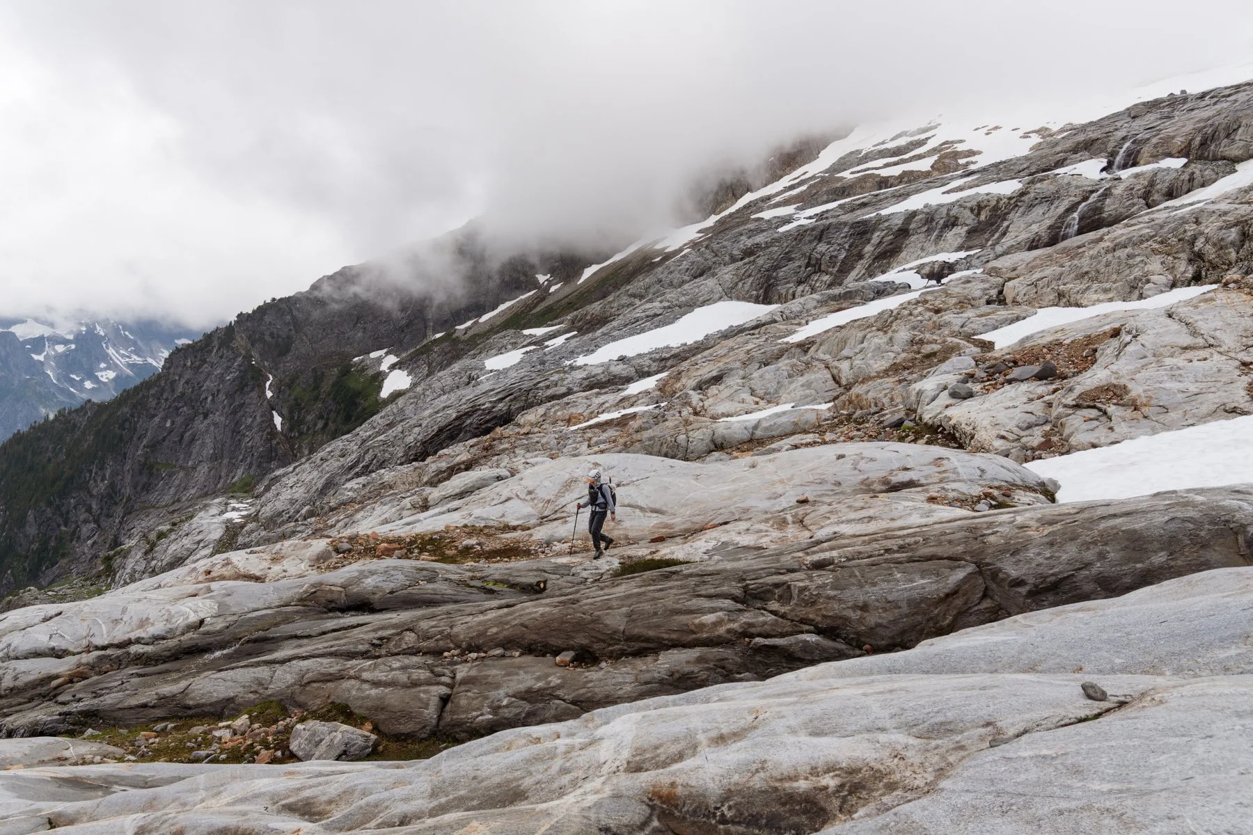
It was painfully difficult to to turn back. We kept clinging to the hope that we could make the climb and see those famous Pickets views, but finally we pulled ourselves away and began to descend.
Not fifteen minutes after we turned around, the clouds break again. Our hearts sank even more as we wondered what would have happened if we had just pushed on through the fog and kept going, but a few minutes later the clouds enveloped the summits again and would hide them away for the rest of the evening.
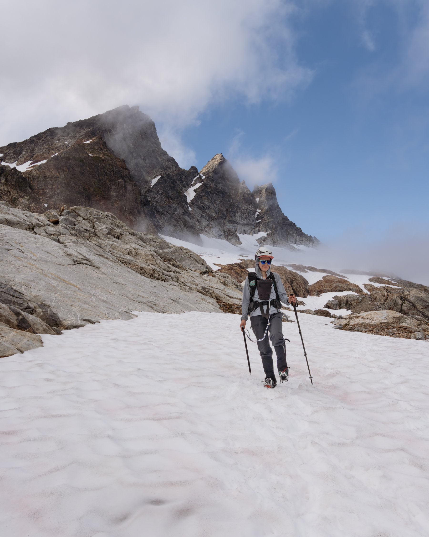
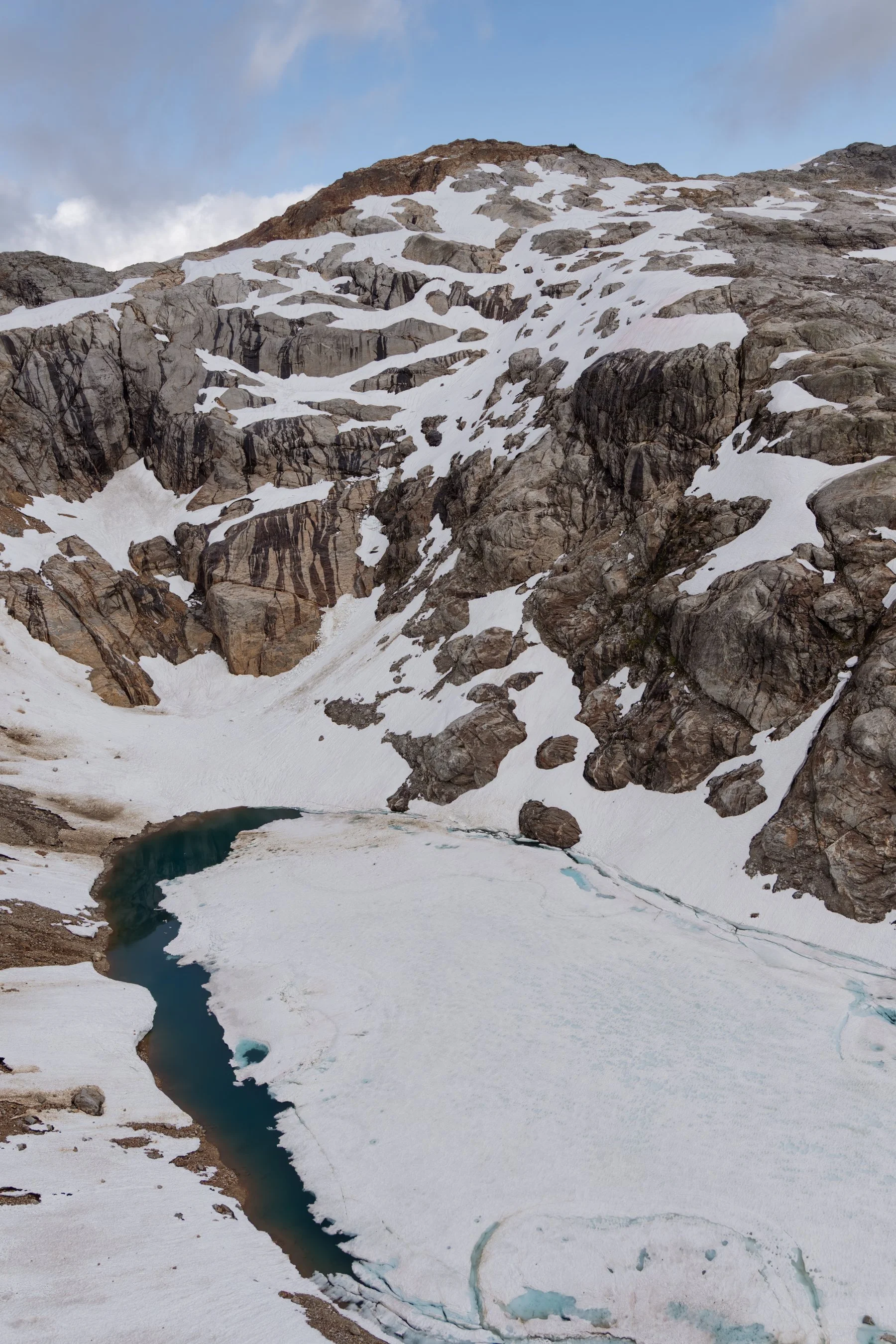
As a consolation on the way back, we took a couple of detours to peer down into the cirque where the thawing unnamed lake sat, beneath impressive glacial-carved cliffs.
The return trip to camp was much faster and easier than the hike out and we were back well before sunset.
day 3: The Descent | 8 miles | 700’ of gain
We set our alarms for sunrise, still holding onto hope that despite Saturday’s forecast being so wrong it was comical, Sunday’s clear forecast would be accurate. At 5AM I peeked out of the tent, bracing myself for disappointment. It was clear!
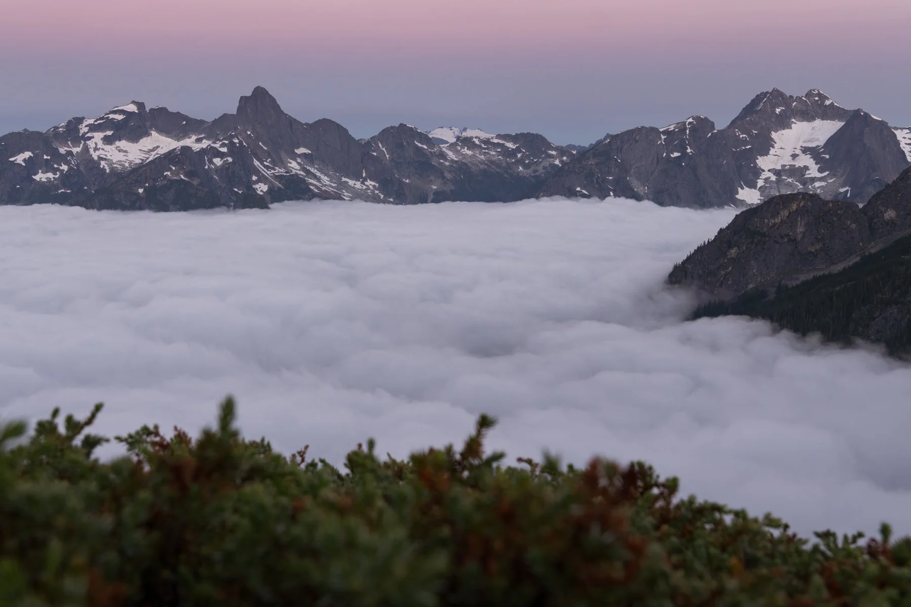
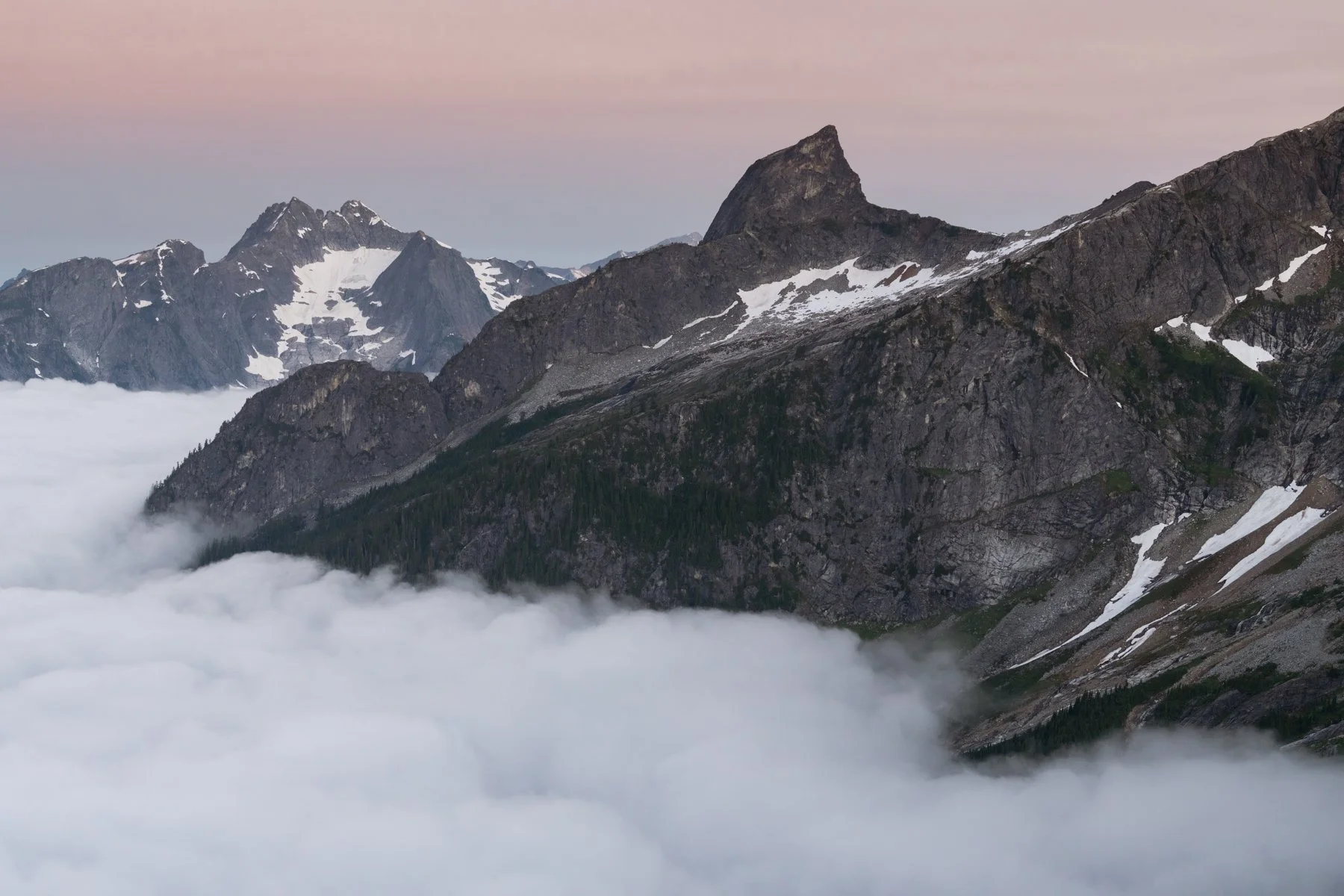
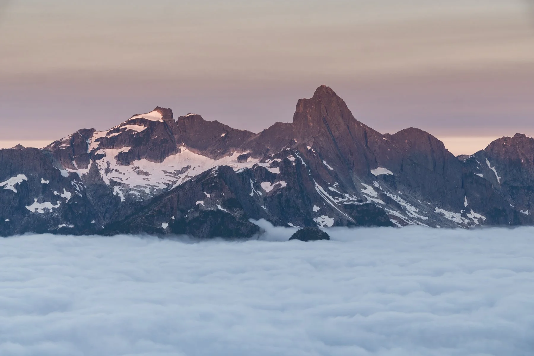
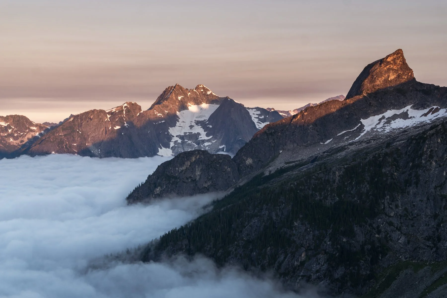
We returned back to the ridge above camp and were once again left speechless by the view. This time there was a thick sea of clouds nestled in the valley beneath the peaks. After the previous day’s disappointment, it felt like a peace offering from the weather gods, and we accepted. We watched as the rising sun slowly turned the sky shades of sorbet before it finally drenched the tips of the mountains in the orange glow of first light. Already the sting of the prior day felt lessened.
After another long and leisurely breakfast we broke down camp.
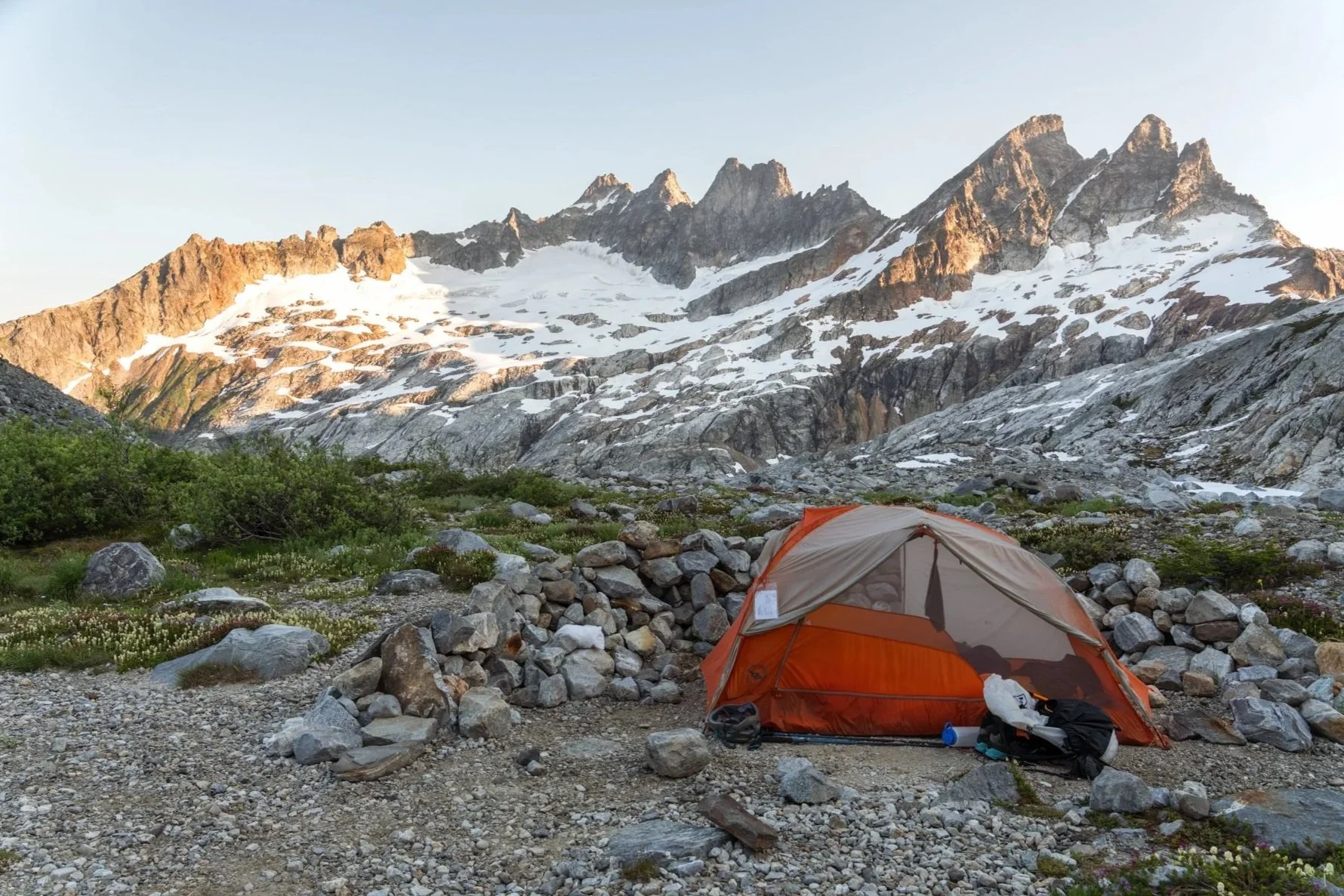
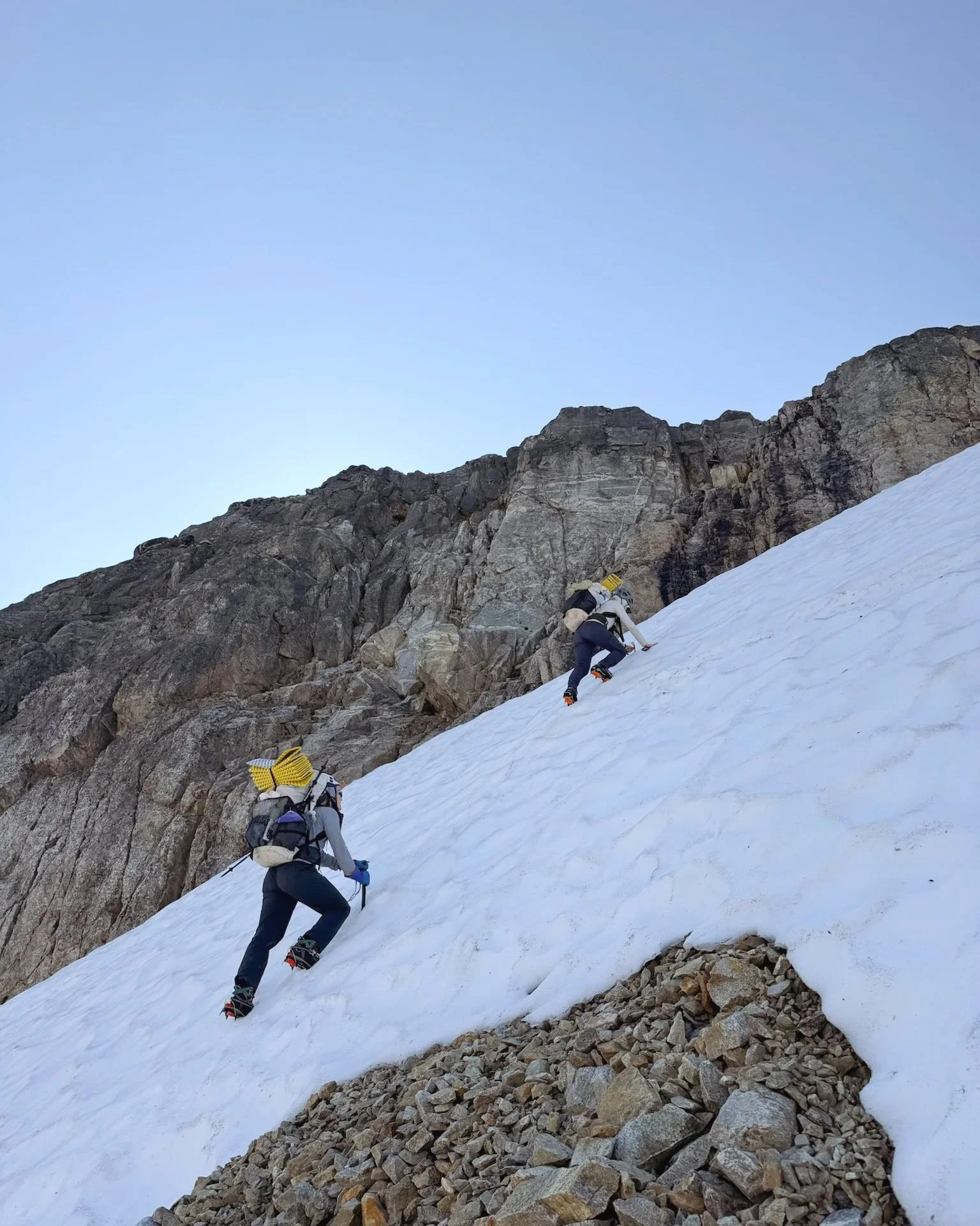
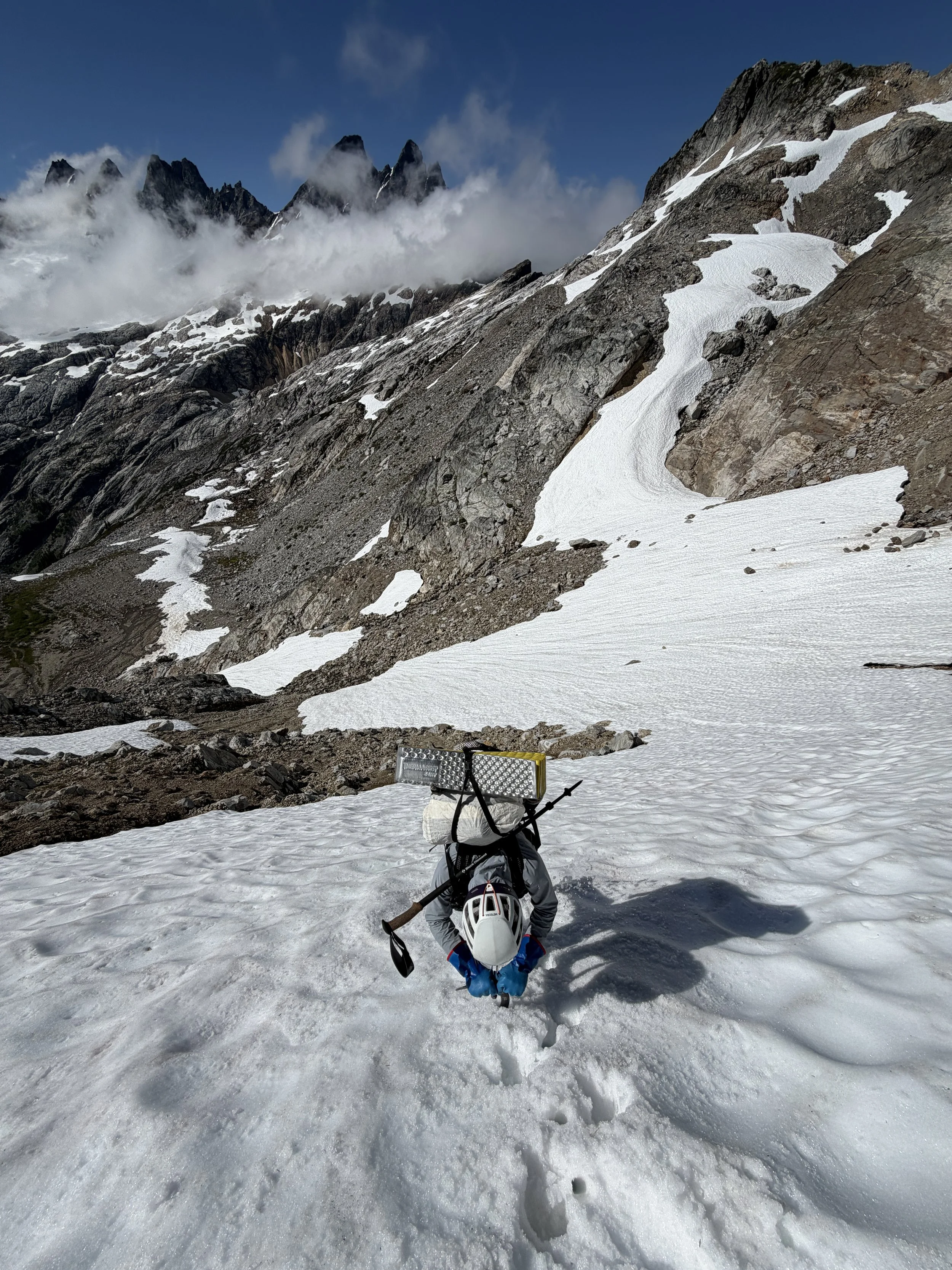
Climbing out of the basin on steep snow
The climb out of the basin was a little spicier than expected because the snow was still firm in spots. I led the climb out, kicking steps the entire way up with my thoughts vacillating from “look how far you’ve come from being scared on steep snow!” to “Don’t you dare fall here!”
Once we were back on top of The Notch, we breathed a sigh of relief, changed into our approach shoes, and began the long descent.
The section through of meadows was just as beautiful as the first day, and I was grateful that we had another clear day to appreciate the views. As for the descent back down the forest, well, I kind of disassociated. I definitely prefer precipitously steep ascents to steep descents. The entire descent felt like a fight against gravity with all of my muscles straining to keep me from catapulting downwards, but eventually we made it to the valley floor. From there it was “just” four chill miles and we were back at the trailhead!
*****
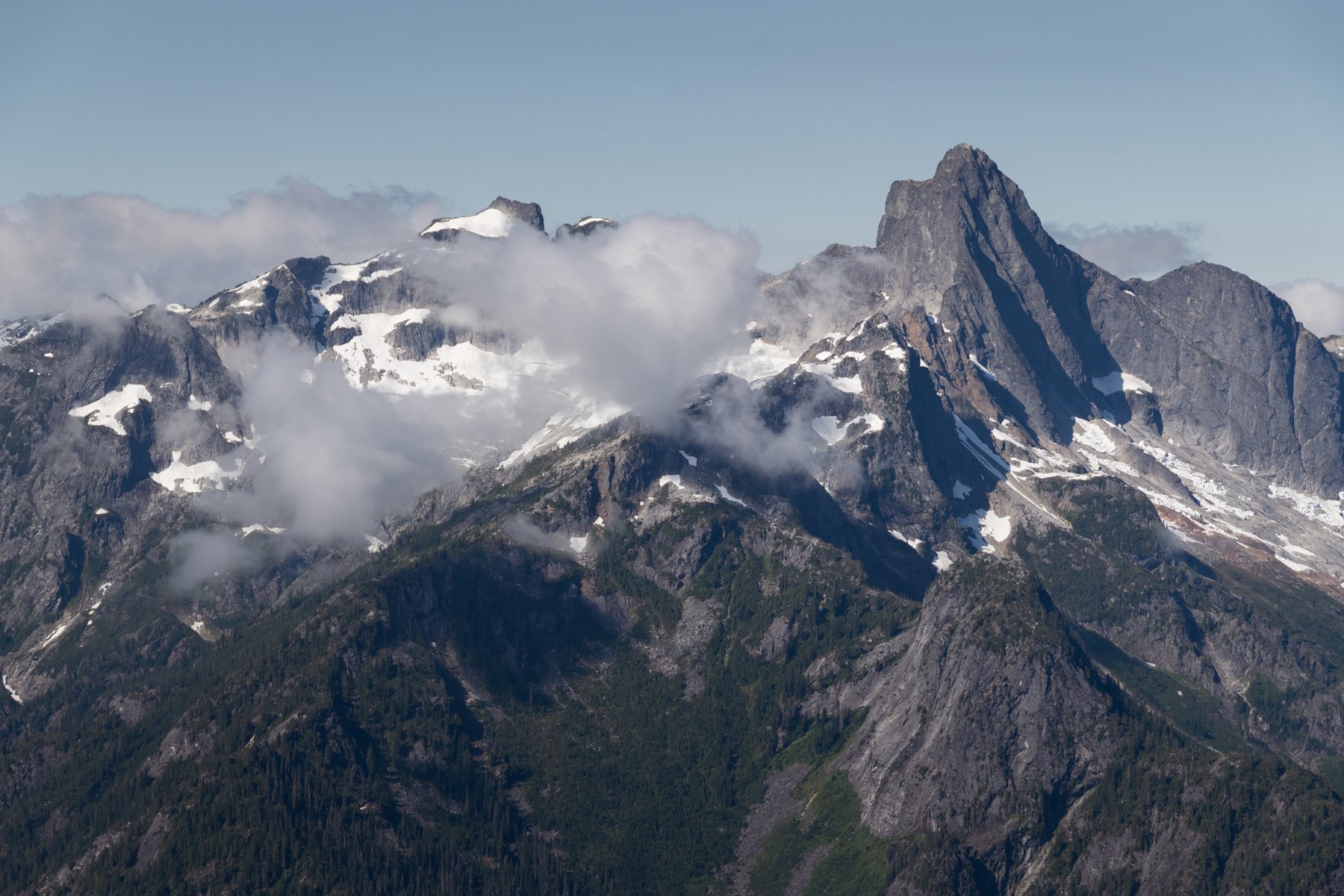
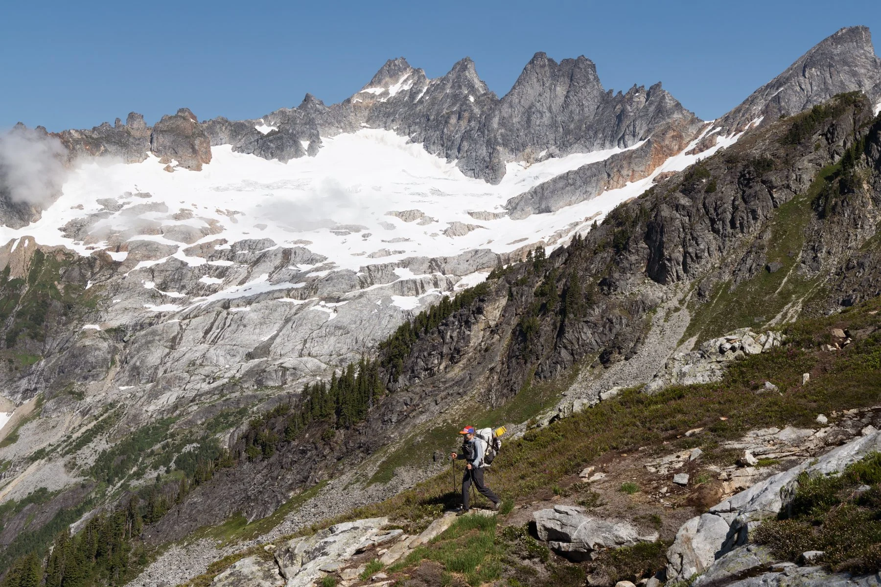
Despite remaining stuck on the wrong side of the Picket fence, not summiting West McMillan Spire, and not seeing those views I have been dreaming of for so long, this trip still felt like a success. We were graced by those classic North Cascades summer views: lush meadows punctuated by the vivid pink of blooming heather and streams and waterfalls cascading from slopes in every direction, all set against a backdrop of snowy, jagged peaks. Jess and I have already made a plan to return in a couple years to attempt West McMillan Spire again. We just need the memory of that climber’s trail to fade a little first…